Look for the movie LA FRONTERA this summer!
The Southern Documentary Project
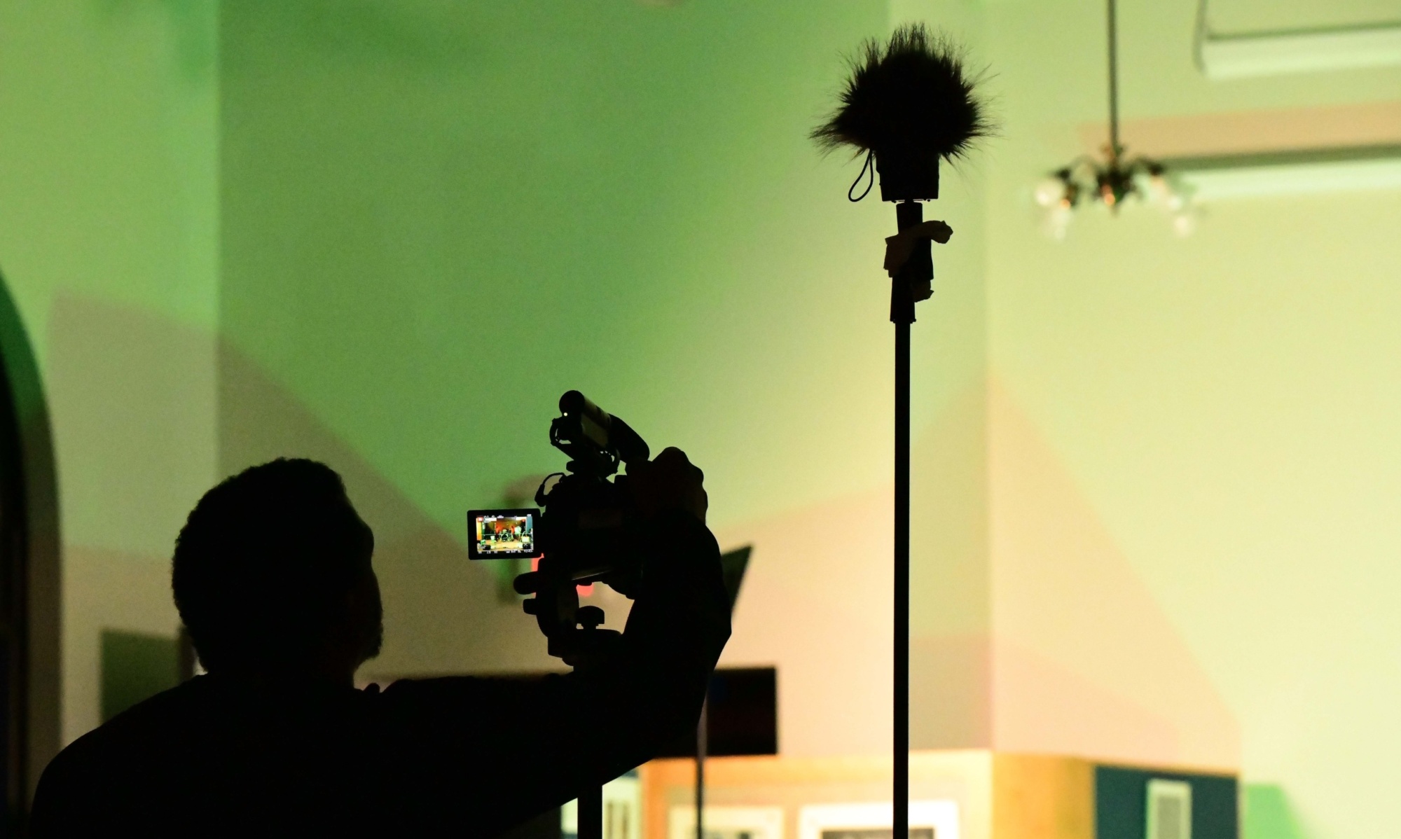
TEACHING THE NEXT GENERATION OF STORYTELLERS
Look for the movie LA FRONTERA this summer!

Welcome to week 4 of LA FRONTERA, coming to you from beautiful Alpine, Texas.
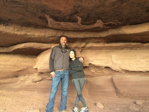
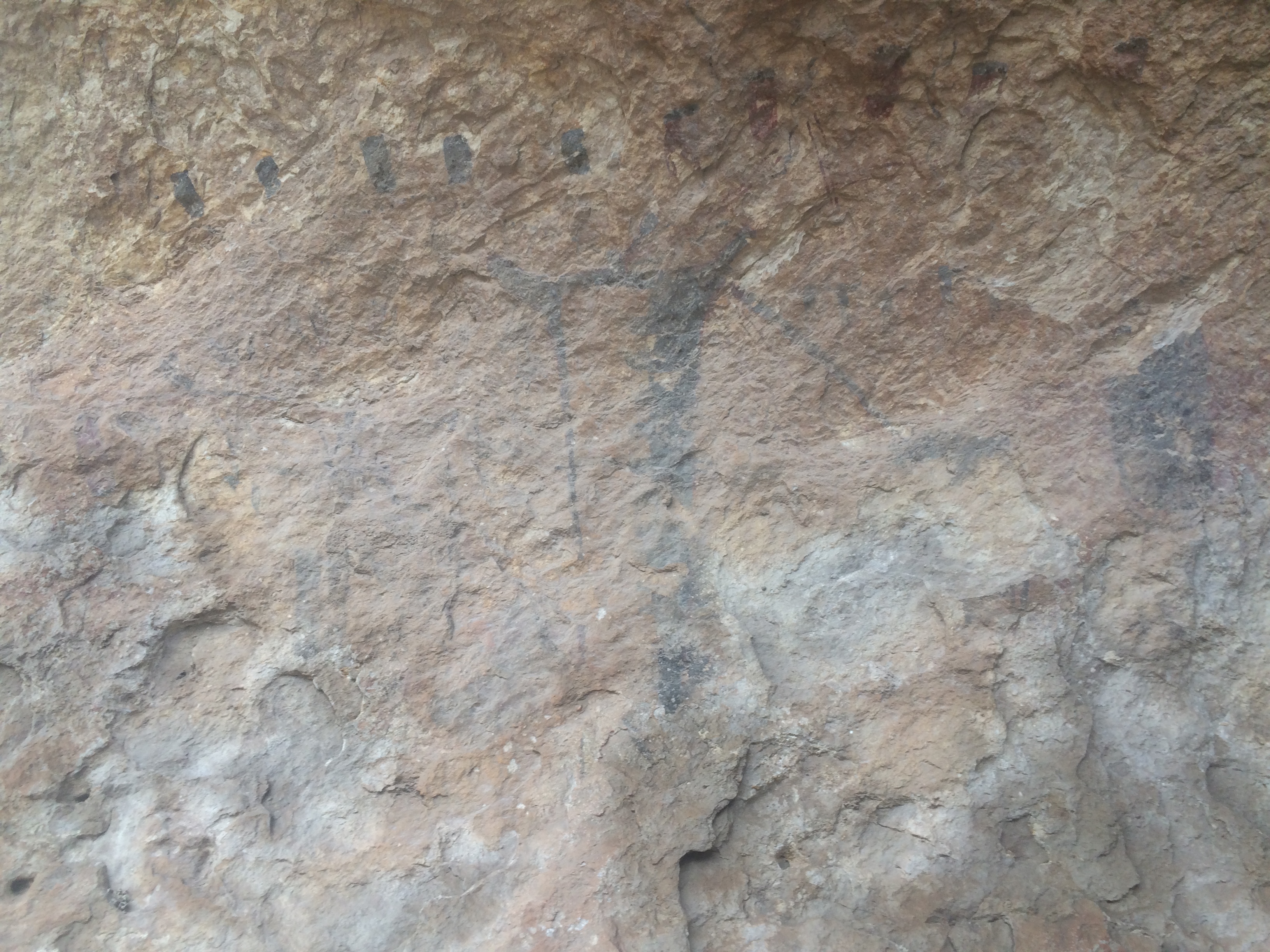
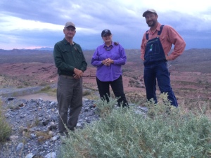
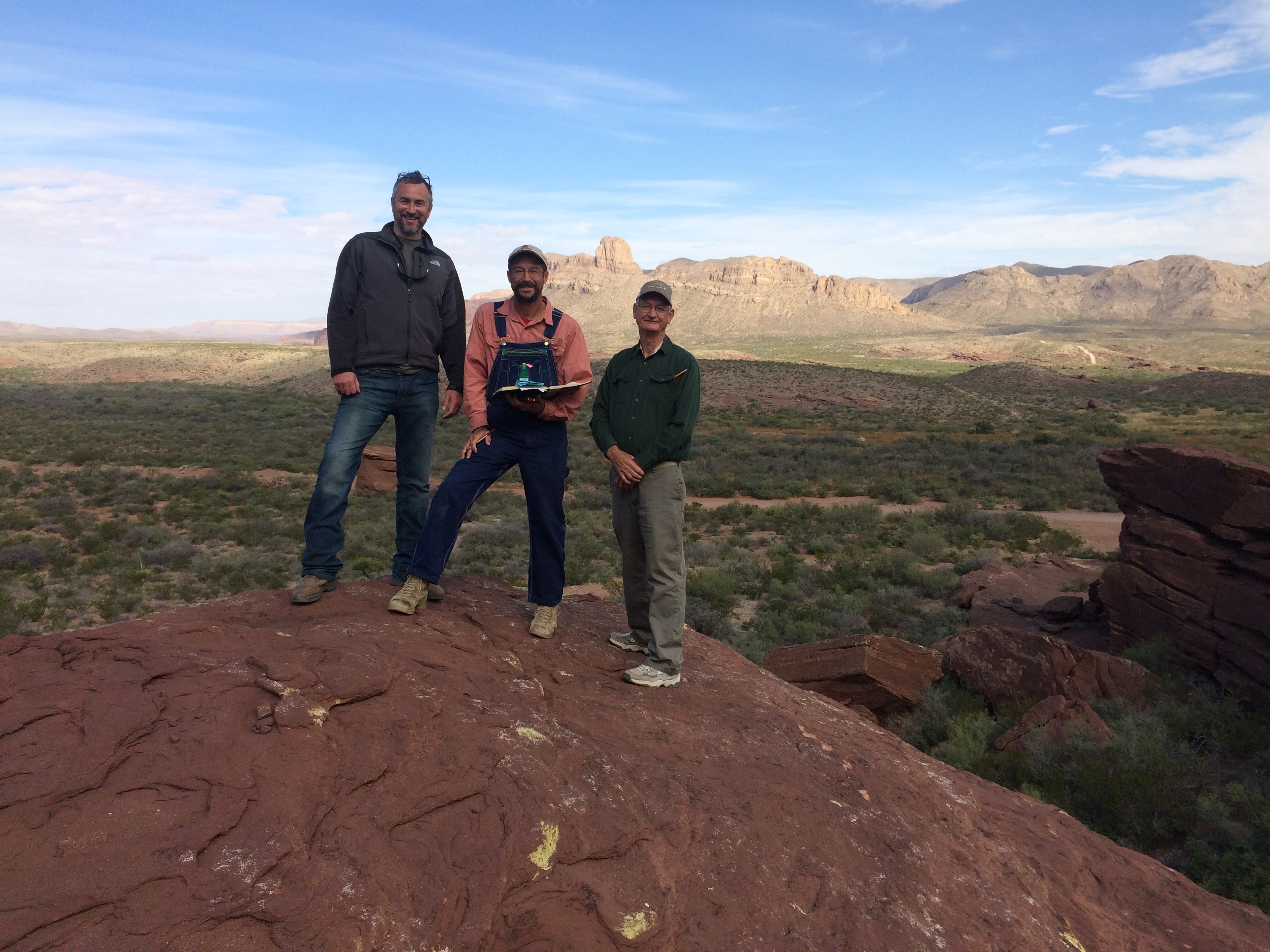
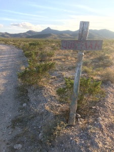
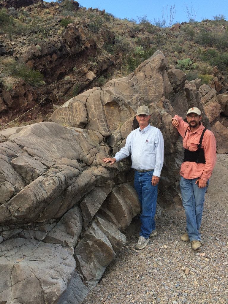
Mark took a week off to go back home for a previous commitment, so I used this time to loop back with some people. But first I had a great weekend with my wonderful wife, Cara. Here’s a gratuitous vacation photo for your enjoyment. That’s only a thousand-year-old pictograph on Darice McVay’s ranch in Van Horn, Texas.
Wednesday 11/19
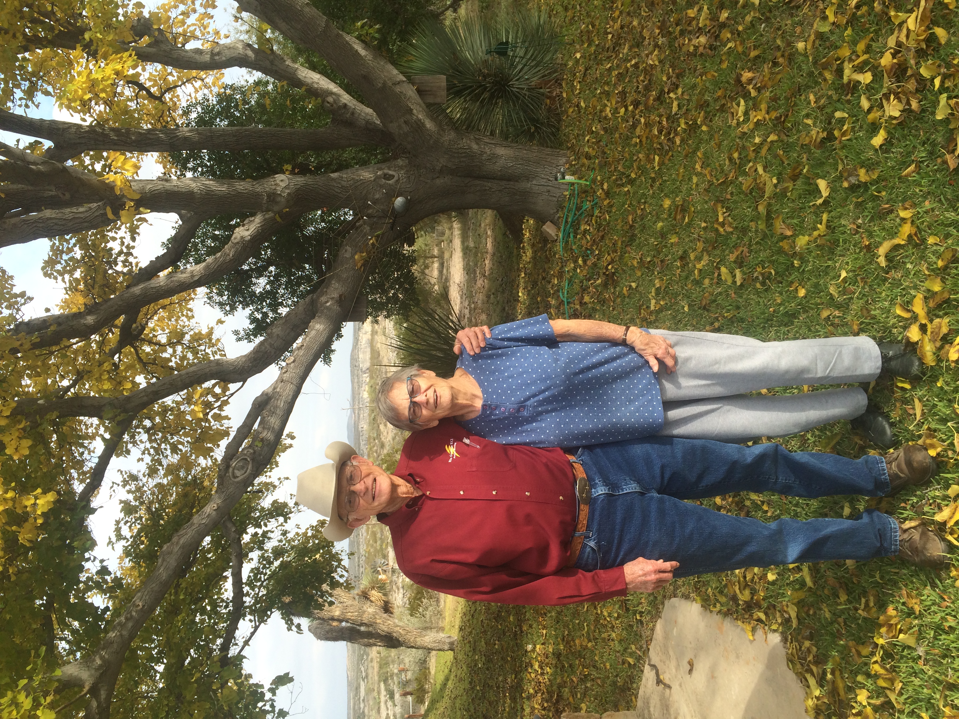
Darice introduced me to Ray Fitzgerald, who is eighty-three years old and a sure-enough cowboy. He’s also the retired chief of the Border Patrol station in Van Horn and a cowboy poet.
Ray gave a great perspective on how things have changed along la frontera since he retired from CBP. He also talked all about his cowboying experience, and even recited one of his poems for me.
I wanted to get Ray riding his horse, but Drifter wasn’t in the corral. We scanned the area and finally saw him close to a mile out across the mesquite plain. Ray blew his car horn to try to call him in, but the horse didn’t respond. I felt very strongly that we had to get Ray on horseback to play over his interview, so I volunteered to go out and try to bring the horse in. Ray gave me a hackamore and I set out. I grew up on a farm around cattle, but I have little equestrian experience, so as I walked I just tried to call the horse like I would the cows long ago. It didn’t work. Drifter just stood and stared at me, but he didn’t seem nervous, so I just eased up to him and slipped the hackamore over his head as easy as pie. After that, all I had to do was lead him in, and he followed me with no problems. Ray saddled him up and rode him around a few minutes for me so I could get some good coverage.
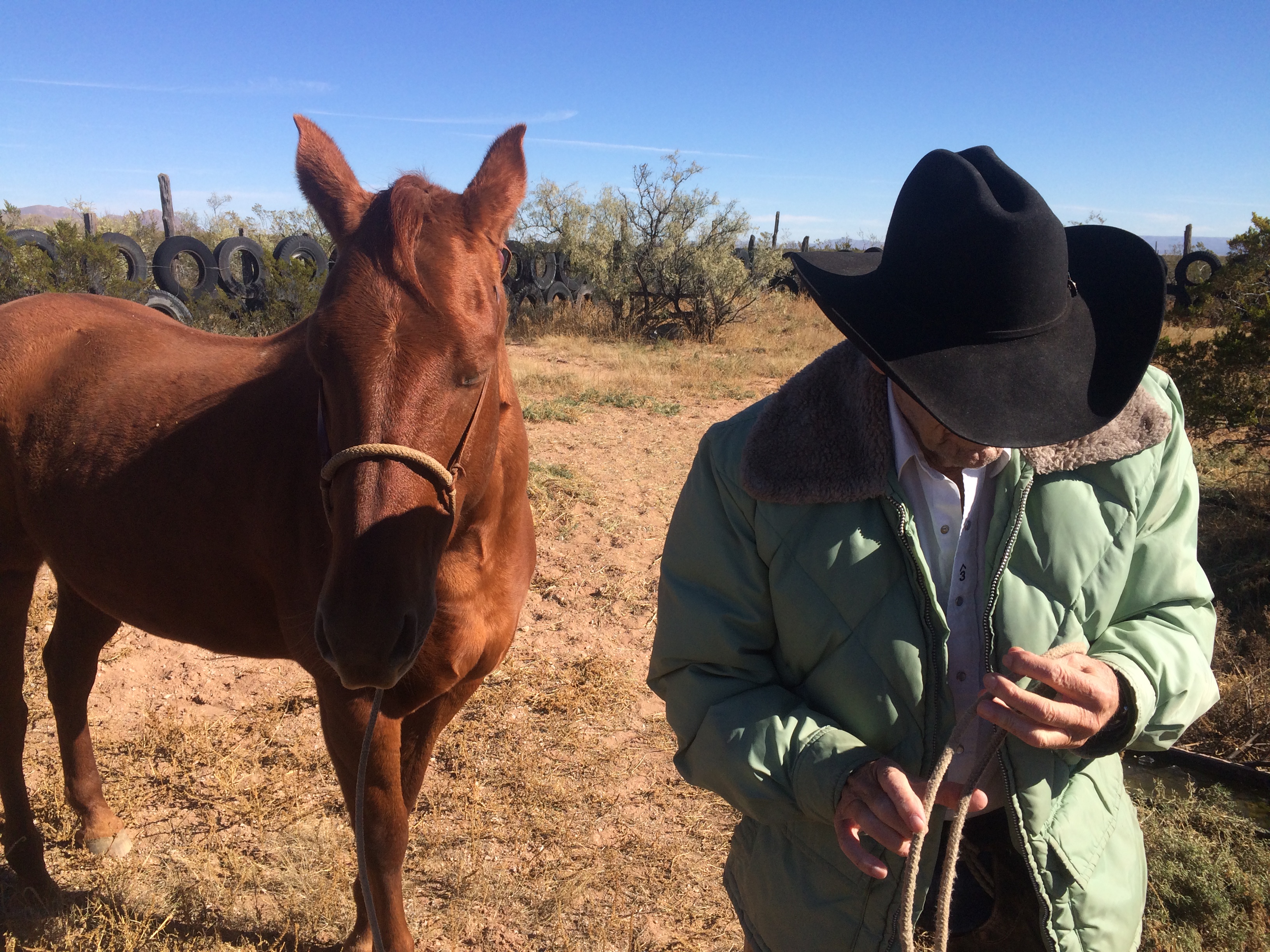
It really doesn’t get much more cowboy than Ray. Thanks, Darice!
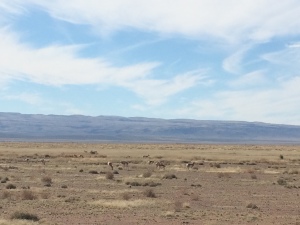
On the way from Van Horn to Marfa, I saw my first antelope of the trip. They took notice but weren’t spooked at all when I stopped the van and got out to grab a few shots.
Headed down to Presidio and out to the Big Bend State Park office at Fort Leaton. Filled out some paperwork and chatted at length with David and Tony, who were a big help as far as orientation and introductions. Thanks, guys!
Thursday 11/20
Met with Terry Bishop out at La Junta Heritage Center and had a great interview. La junta is Spanish for “the junction”, which in this case refers to the confluence of the rivers Conchos and Bravo (Grande to us in the US). The Bravo is really just a ditch at this point until it becomes a river with the help of the Conchos. One of the projects Terry is undertaking at La Junta is wetlands restoration, so he had a lot of great things to say about water and the environment on the border.
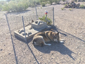
Here’s your feels for the day, courtesy of Terry’s eighteen-year-old border collie stricken with cancer, heart disease, and hip dysplasia. (The video is oriented properly when it plays).
The other dog is actually a wolf that artist A. Kelly Pruitt adopted when he found it abandoned as a pup. Terry and Kelly were best friends, so when Kelly passed, the care of his animals turned over to Terry.
Had lunch and went to a service station to get a tire looked at that had a persistent leak. The guy took it off, found a leak, and then showed me how the wires from the steel belt were sticking out all around the perimeter. Time for a new set of tires. None that fit were available in Presidio, so I had to spend the afternoon in Alpine procuring a new pair of rear tires for the van. I have been very fortunate not to have any flats on this trip. Mark has had three. Most often it’s not a rock, but a mesquite thorn puncturing the sidewall.
Friday 11/21
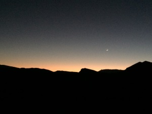
Went up to the overlook at Presidio and got a pretty sunrise.
Met Ruben Hernandez, the original vaquero who was with Big Bend Ranch before it became a state park. He doesn’t speak much English and I don’t speak much Spanish, but we were thankfully able to enlist the services of a gracious translator. Ruben gave a fantastic interview. When he got emotional talking about nights on the open range, I think I got a little smoke in my eyes.
Did a bunch of aerials that afternoon because the wind was supposed to start gusting over the next couple of days.
Set up camp at Arenosa Campground next to the river and welcomed Mark back to the expedition.
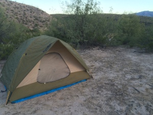
Here was the view out the back window of our tents. We slept well to the sound of the river.
Saturday 11/22
The paperwork to shoot in BBSP hadn’t come through, so I just shot Mark on FM-170 outside the park boundary. There’s some great scenery around Redford / Polvo that isn’t actually a part of the park.
At the end of the day, set up camp at Grassy Banks and went into Lajitas to try to meet some people at the store. Debbie Garrison arrived shortly thereafter and was an incredible hostess, providing us with lodging, introductions, information, and lots of good old-fashioned hospitality. We were overjoyed to run pull up our tent stakes and move into our rooms at Lajitas Golf Resort. Thank you, Debbie and Stan!
Sunday 11/23
Roamed around Lajitas shooting some various things. We were on our way into town when our new Tex-Mex compadre, Bob Larrimore, spotted something just across the river.
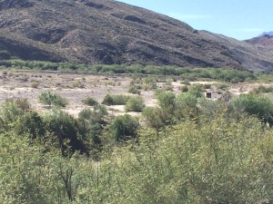
That tiny square-looking thing is the rear of a Mexican Army vehicle. Right behind it is a Humvee with a 50-caliber machine gun on it. We watched them for a while but they didn’t seem especially concerned about our observation.
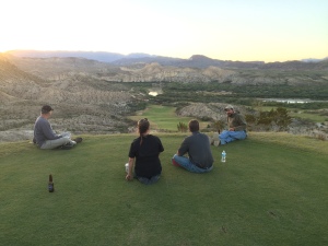
Tim, Debbie’s husband, is the manager of the RV park at Lajitas, and he fixed us up with a great campsite there. After setting up camp, we all went to the 14th tee box to enjoy the sunset. Believe it or not, I was actually working while they socialized, even though some of the photographic evidence suggests otherwise.
Monday 11/24
Went out on the course with Randy Small, course manager, at dawn. He gave me a lot of great stuff about how to make a beautiful golf course in the desert, and I was impressed with their environmentally friendly approach. Flew the copter off the 14th tee box to amazing effect.
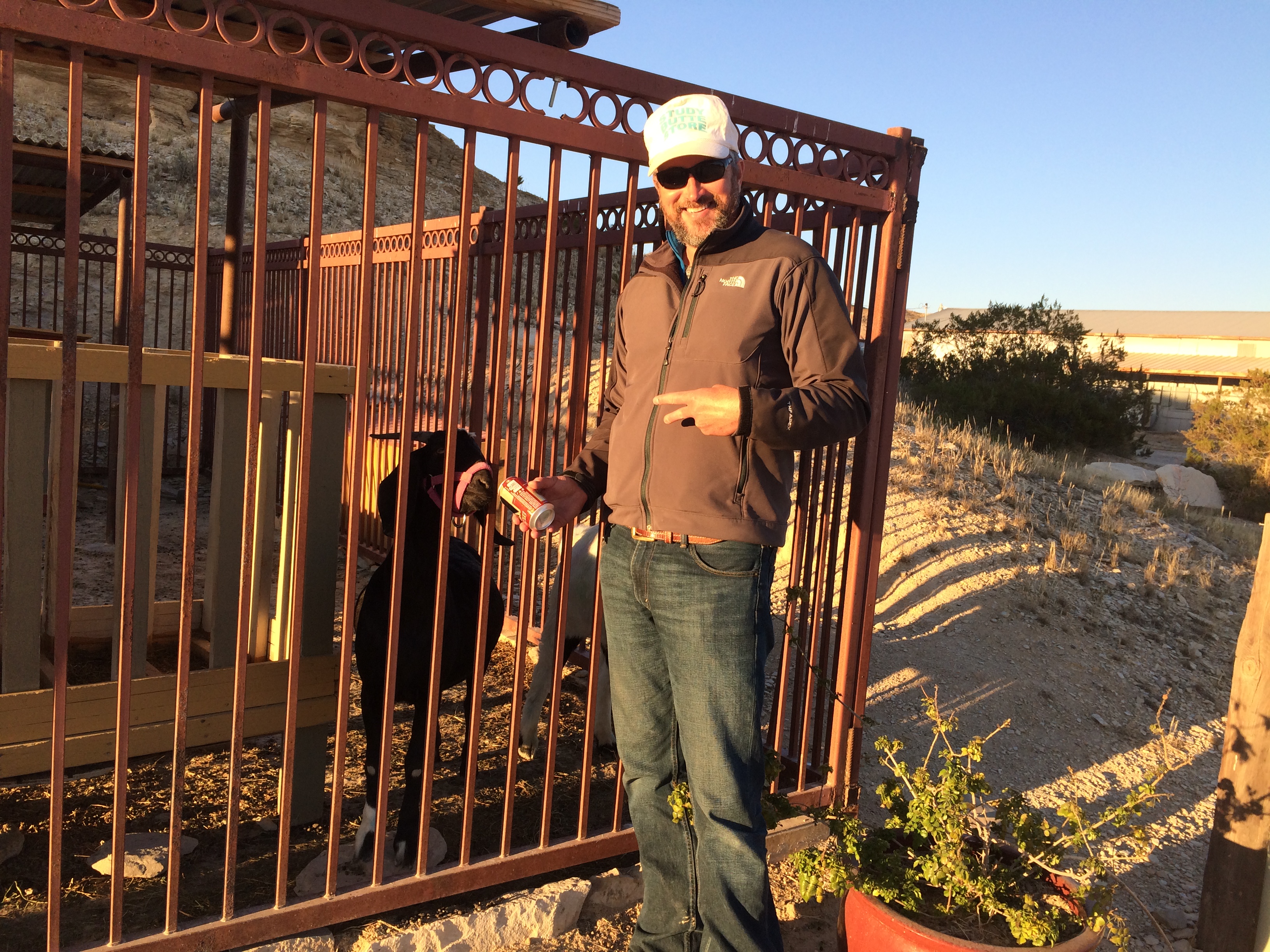
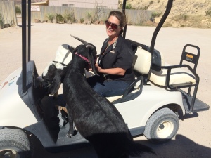
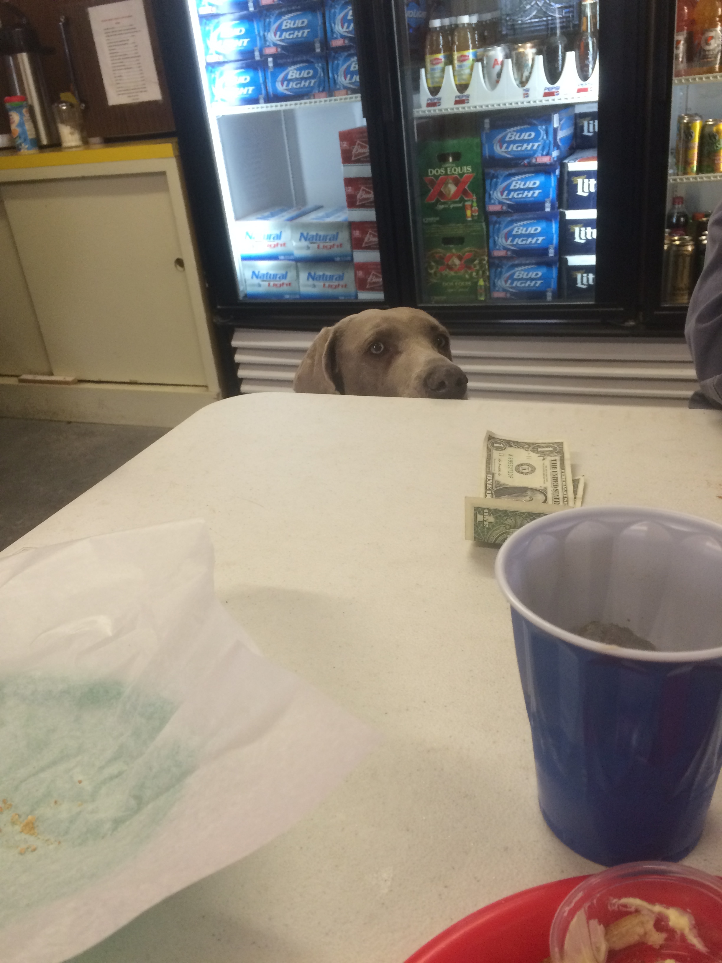
That afternoon, Debbie the Goat Girl did a super job spinning the funny story of the four-legged beer-drinking Mayor of Lajitas. Mounted the GoPro to the golf cart and got some outrageous stuff of Debbie riding the goats around. That was fun!

Left Lajitas somewhat regretfully, but happy with the content we got there, and relocated our base of operations to Alpine.
Tuesday 11/25
Caught up on my backups and blogging. I think Mark has some people lined up for me to meet tomorrow, so maybe you’ll hear about them in next week’s update.
A final thought: most documentary films would be virtually impossible to produce without the kindness of strangers who become our friends. I’ve known that for a long time, but am reminded of it over and over on this trip. Debbie, Tim, David, Tony, Terry, Brad, Darice, and so many others have helped us so much, and we are so grateful to you all for making this experience so memorable.
I hope you’ve enjoyed this fourth dispatch from LA FRONTERA. I will update again as we head down the Lower Rio Grande Valley.
Welcome to week 5 of LA FRONTERA. This blog will not be as detailed as my previous ones since I’ve fallen behind on my journal, but I’ll hit the high spots.
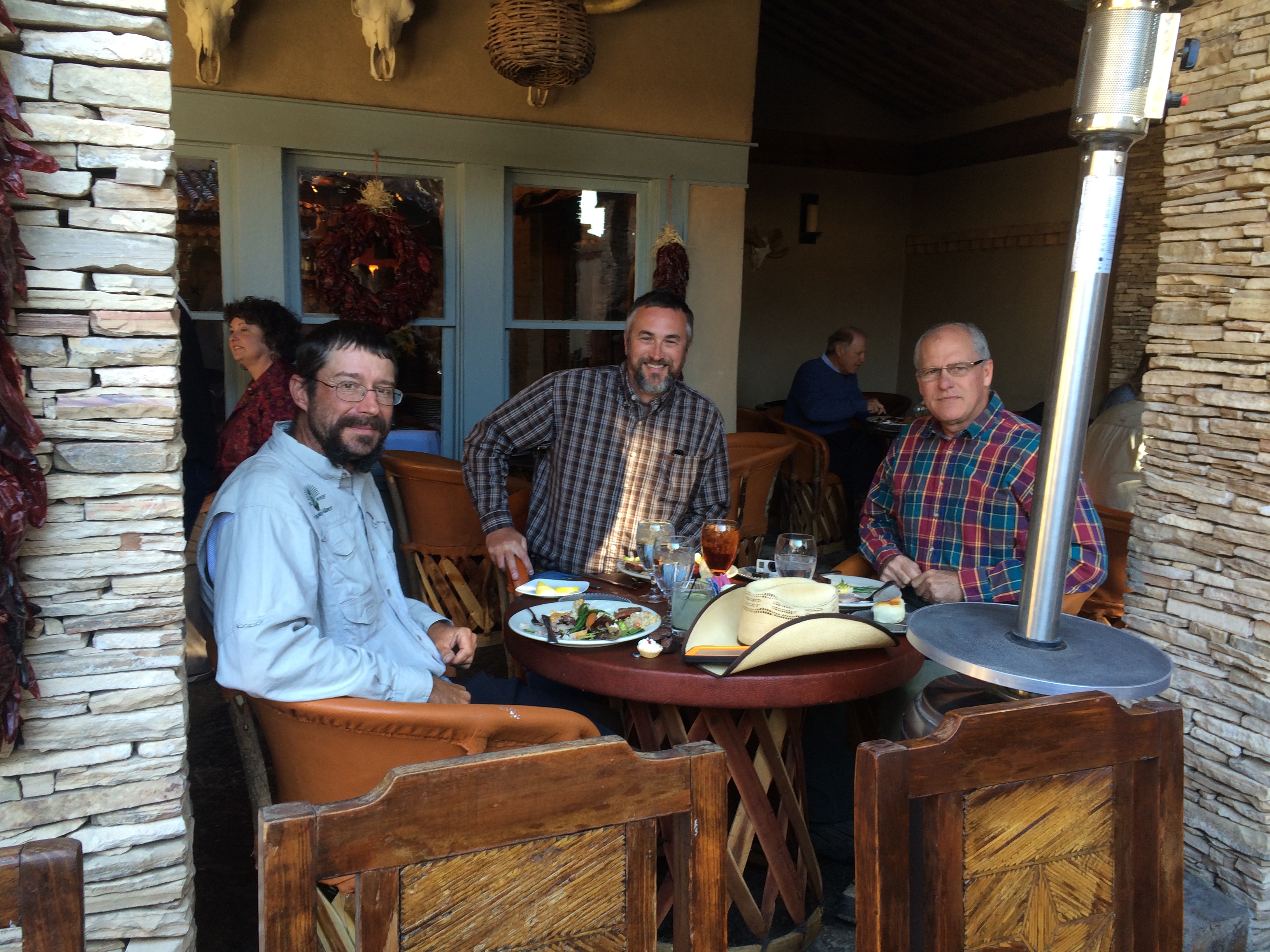
Had a nice Thanksgiving dinner with Mark and Bob at an unnamed hotel in Marathon (so unnamed because there were no comps).
The road from Marathon to Sanderson went through some of the bleakest country you’ll ever see, but it was surprisingly rich in wildlife. We saw plentiful deer, antelope, javelina, and even three elk! Apparently elk were hunted out of Texas fifty or sixty years ago, but the game ranches began re-introducing them back in the nineties. As you would expect, some escaped, and there are now about fifteen hundred free-range elk in Texas. We were super fortunate to see them, but these sure won’t live long if they don’t get any more skittish than they currently are.
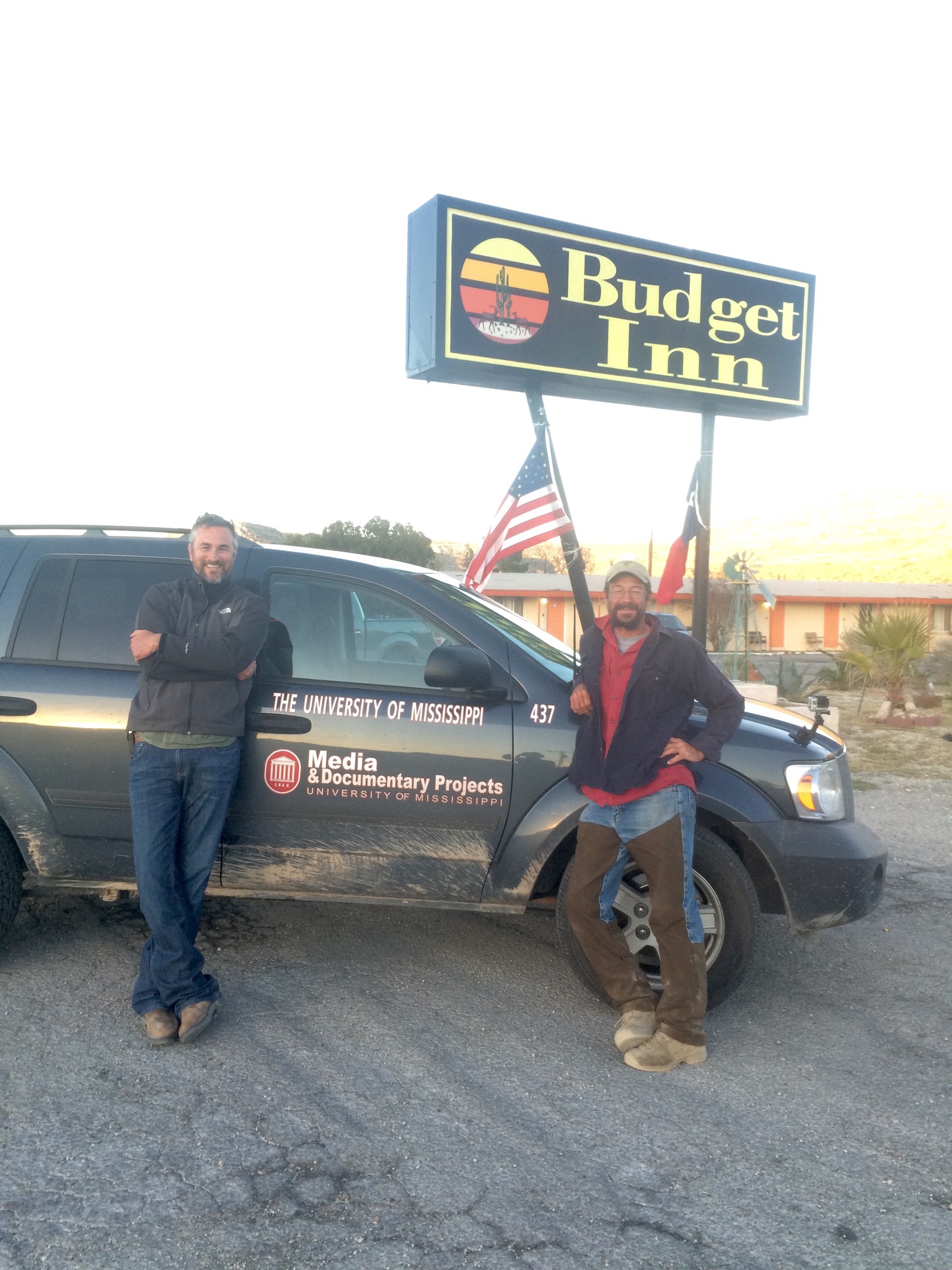
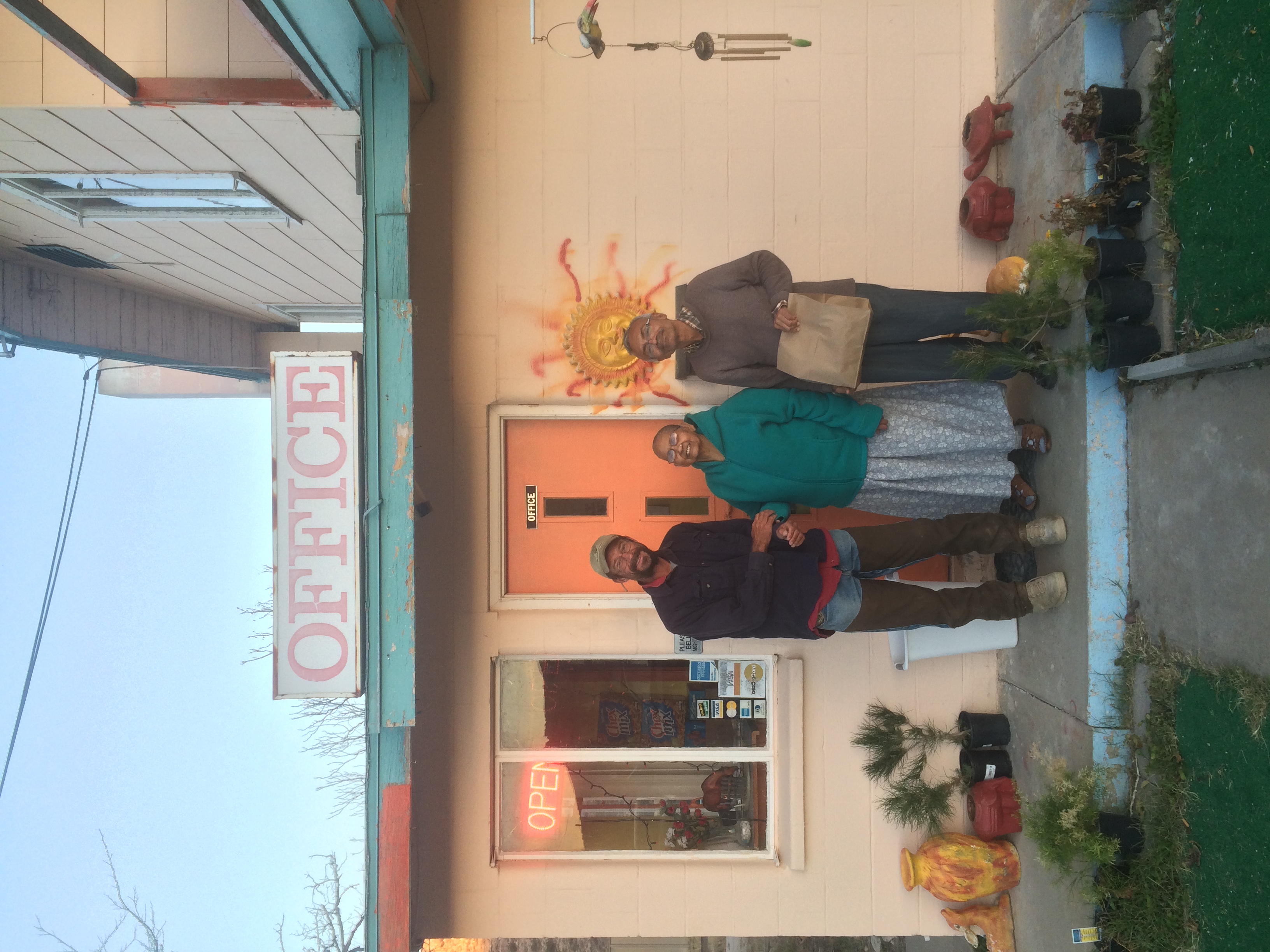
Stayed at the Budget Inn in Sanderson and enjoyed the hospitality of our gracious host and manager, Dalipseth. He and his mother served us afternoon tea and delicious home-cooked Indian food for two straight days! Dalip and mother, you two are fantastic! We shall return!
Made it into Langtry and stayed with the Billings family. Mark met Adrian by chance in Presidio, and he graciously invited us to stay at their place and visit with his father (Warren), uncle (Aaron), and grandfather (Pete). The Billings clan grew up on the river and had a completely exciting experience exploring, hunting, and fishing all along the Rio Grande. Sat down with Pete and got some neat remembrances of their outings. All this came about due to a chance meeting with Adrian. Thanks, Adrian!
After that I went out to the river and got some incredible scenics from Pump Canyon (so named because that’s where they filled up the steam locomotives).

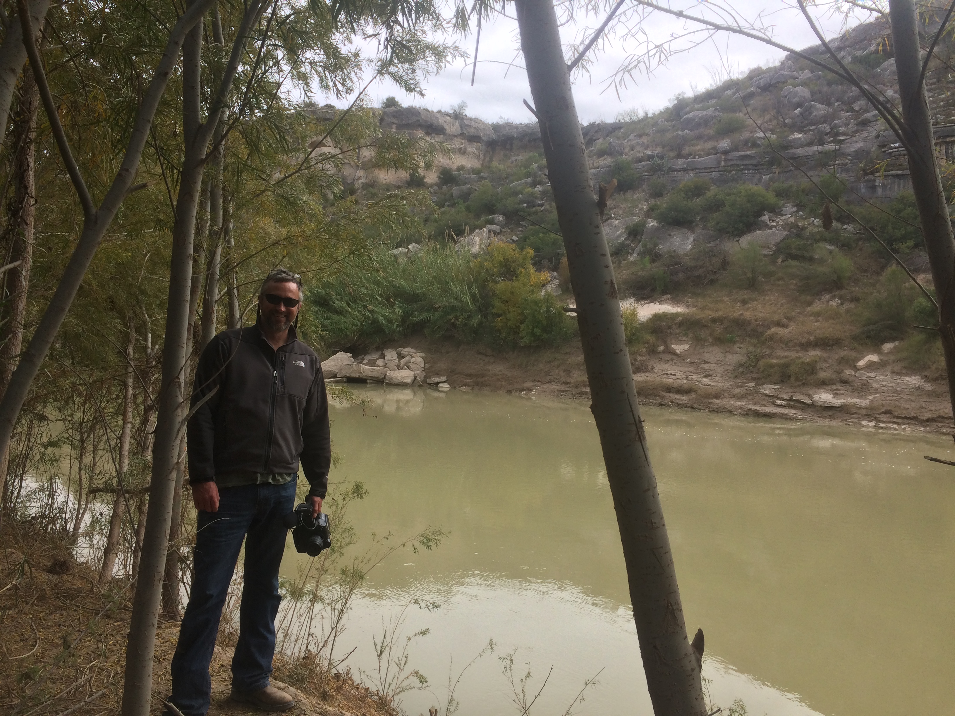
I also hiked down to the river with our latest compadres, Jimmy and Sierra. The Rio Grande here is about the size of the Chunky River.
Met Phil Berg, a motorcyclist whose dog Umma rides behind him in a rumble seat as he pulls a popup camper down the road. Got a neat interview with him. Here’s a terrible picture.

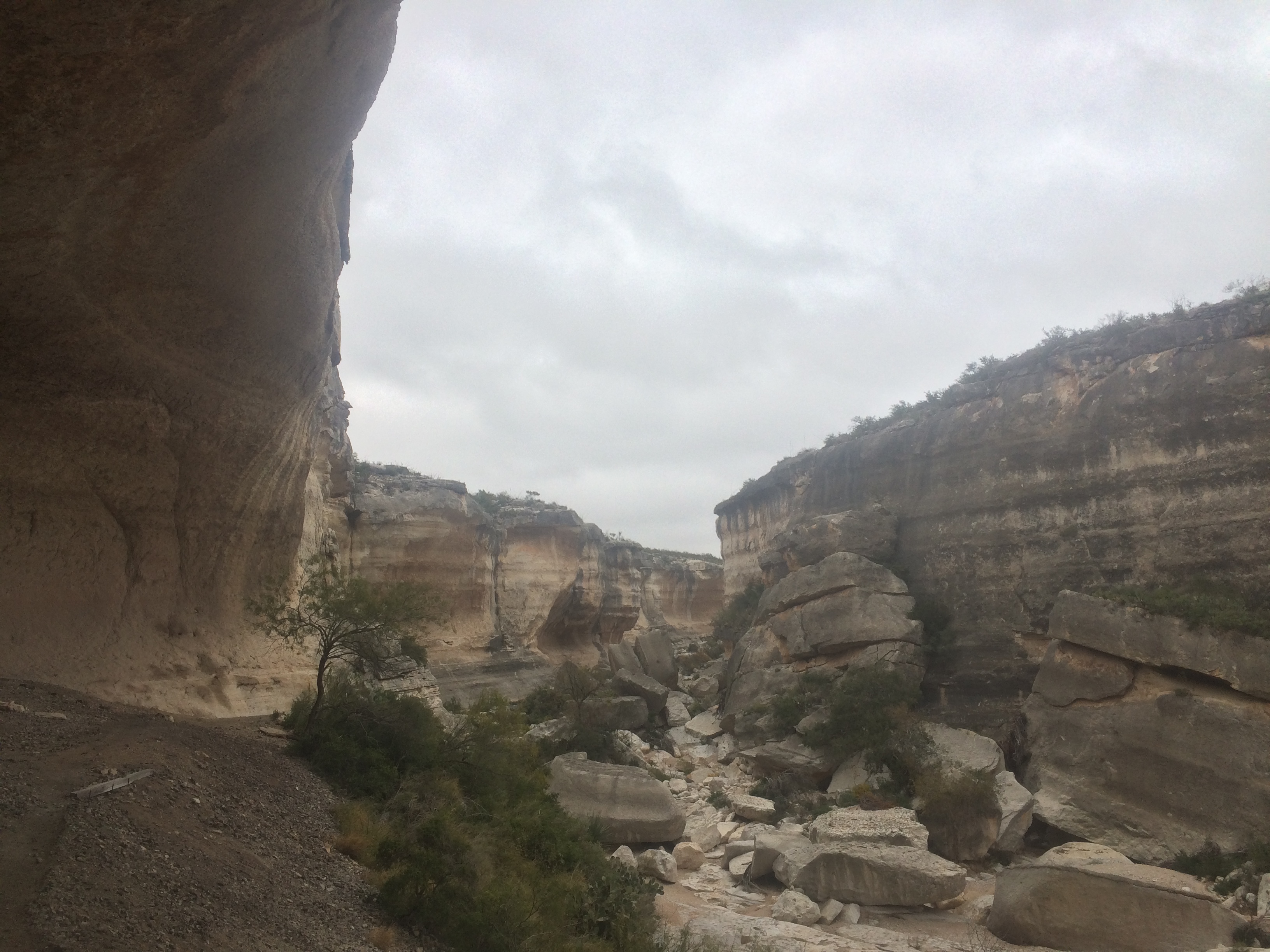
Met Jack Skiles, a Renaissance man from Langtry, who is an author, archaeologist, educator, rancher, and conservationist. Got a great interview with him on the bluff overlooking the canyon he owns, which is full of sites where ancient peoples once lived. Ran out of light so went back the next day and hiked down into the canyon to see some of the sites. This was an amazing experience. I made sure I took the time to sit in their ancient rock shelters and contemplate what they would have been thinking about as they created their rock art. It was quite meditative and very thought provoking to be right there where people lived, loved, hoped, dreamed, and died so many thousands of years ago.
After that great morning I had a delicous home-cooked lunch with Jack and his wife, Wilmuth. They are great people who really love Langtry, and I really enjoyed getting to know them.
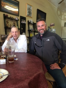
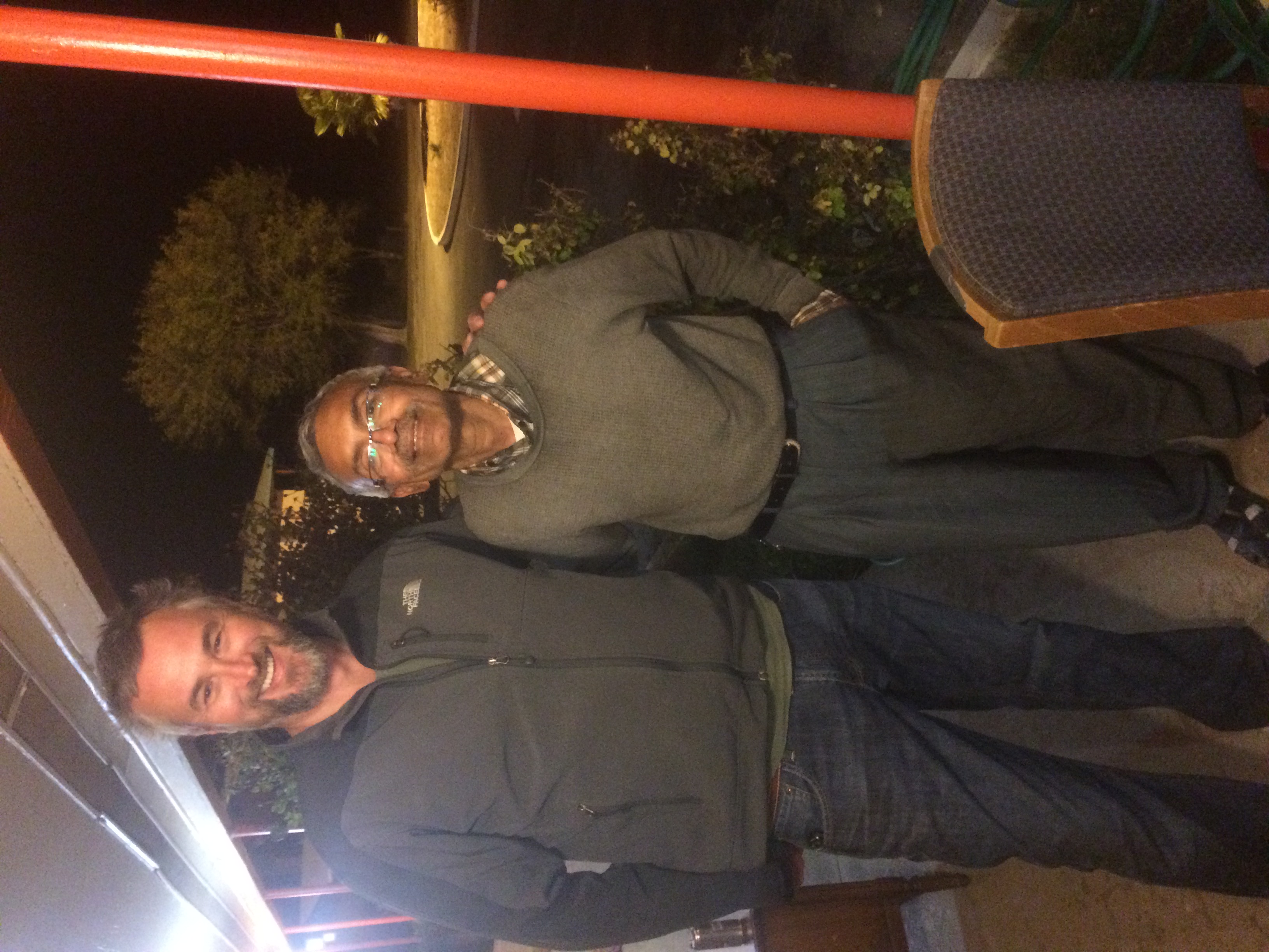
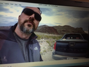
I’m taking the weekend off for a little R&R. My friend Darren is coming down from Austin to see me. The last time we were in this neck of the woods, almost ten years ago, we looked like this.
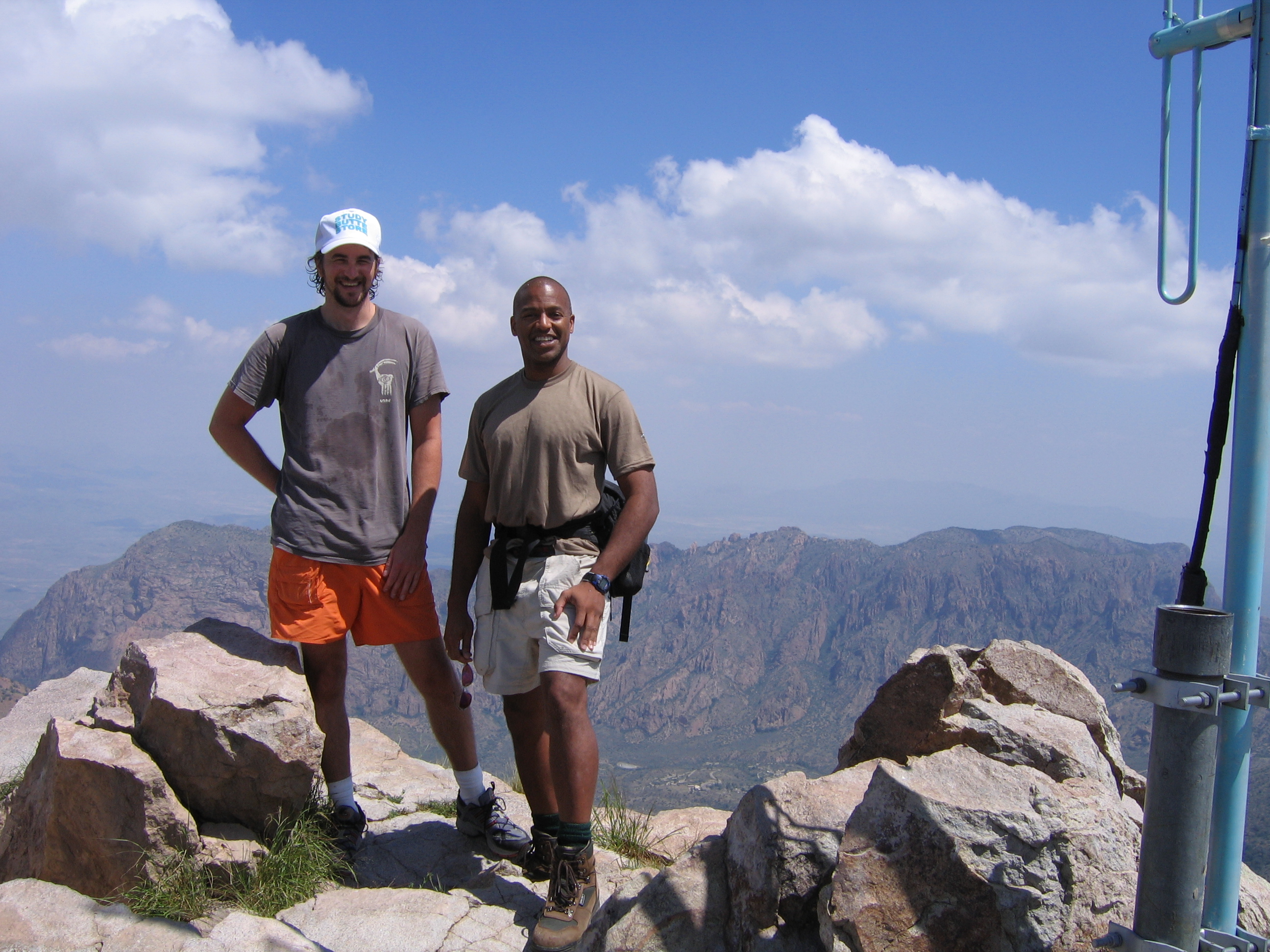
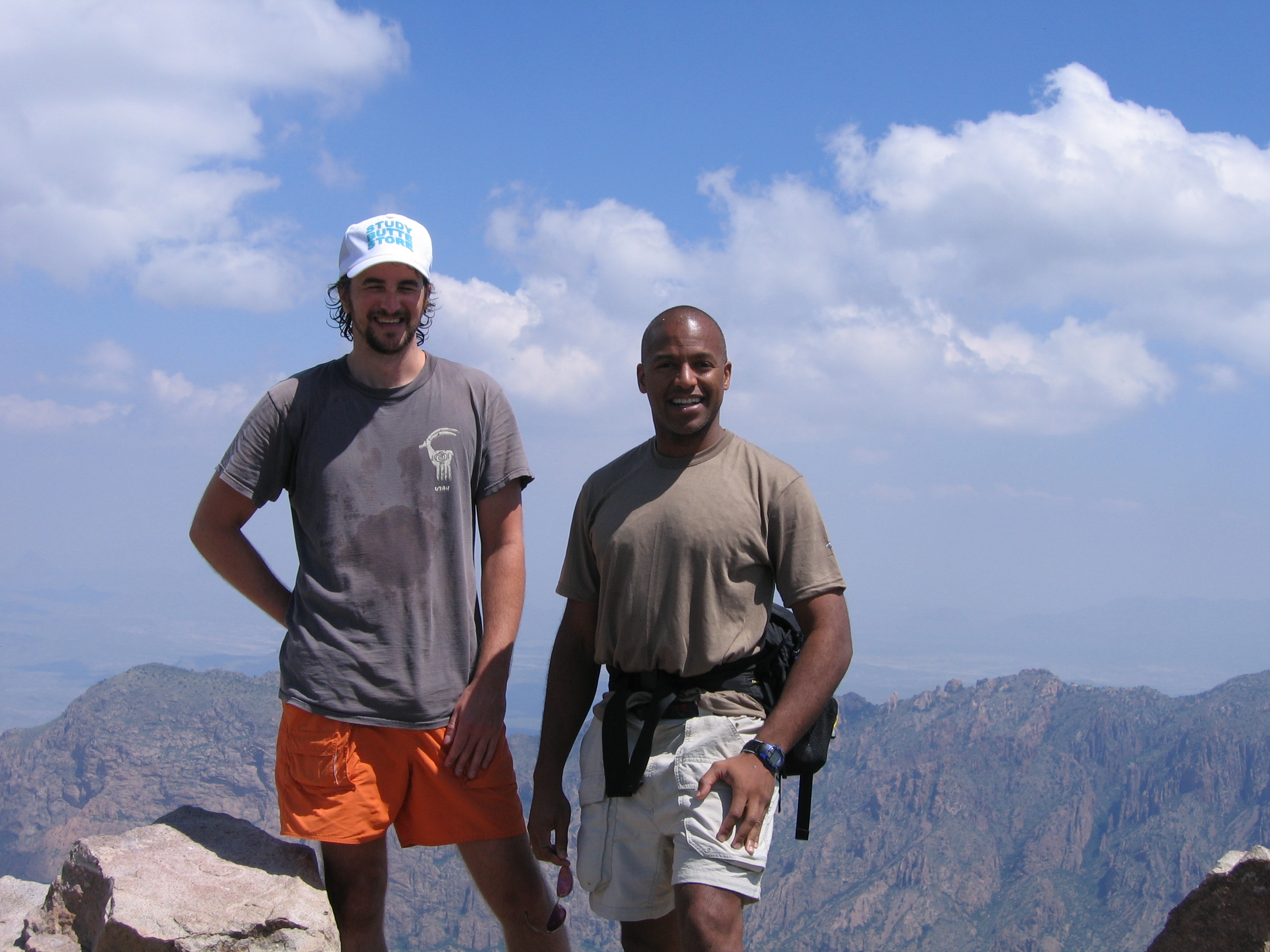
He looks like a J. Crew model and I look like I just got through cutting the grass. I’ll post a current photo in the next blog and we’ll see if anything has changed.
I hope you’ve enjoyed this brief fifth dispatch from LA FRONTERA. I will update again as we head down past Laredo.


Welcome to week 3 of LA FRONTERA, coming to you after four hours of cleanup and refresh after a nasty PC infection. I really miss my Mac. PC people, if you move to Mac then you won’t have any more trouble with any of this virus and bloatware nonsense.
Sunday 11/09
Sadness ensued as Hizzoner Jack Chappell rolled off the expedition. Jack was a huge help to both Mark and me and a pleasure to have along.
His big shoes will be ably filled by the dynamic duo of Ronnie Vehorn and Simons Hane. We’ve heard they’re good cooks, so we’re looking forward to some delicious craft services on this leg of the trip.

Monday 11/10
Relocated our base of operations from Marfa to Chinati Hot Springs in order to meet Mark in Candelaria at the end of Chispa Road.
US 67 to Presidio is a nice drive, with lots of big rolling hills, windmills, and pretty grass. There are several historic ranches along this road.
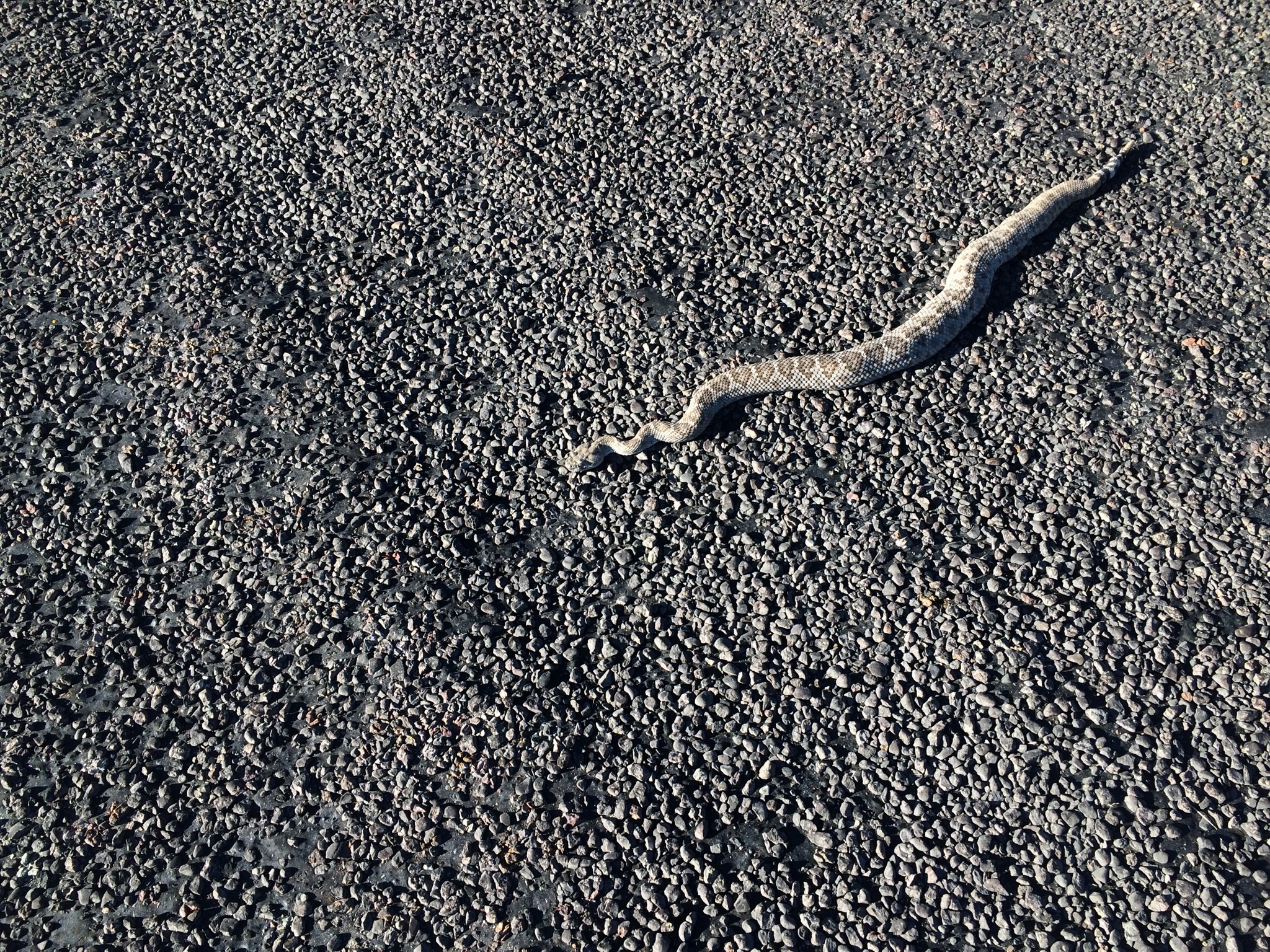
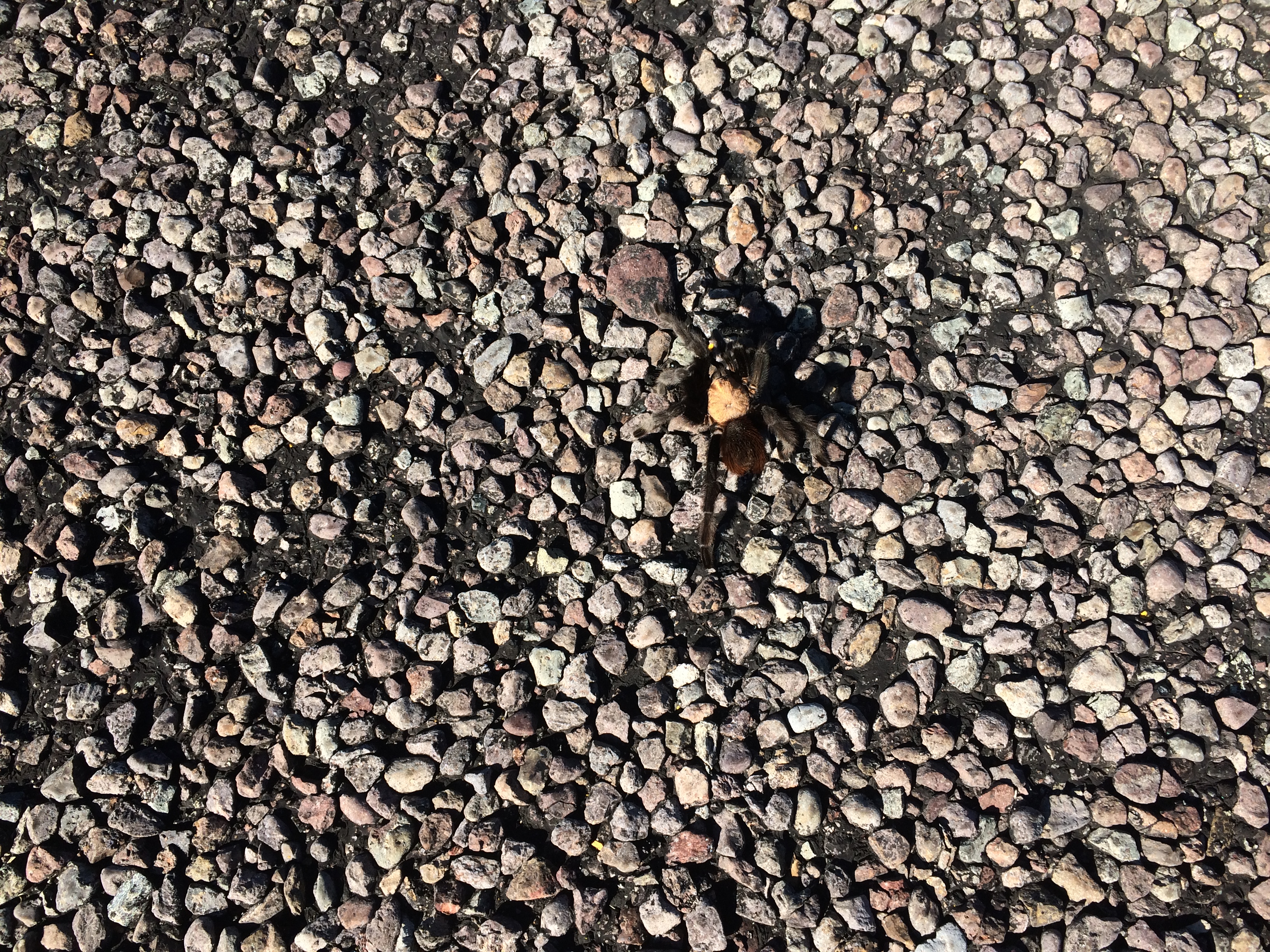
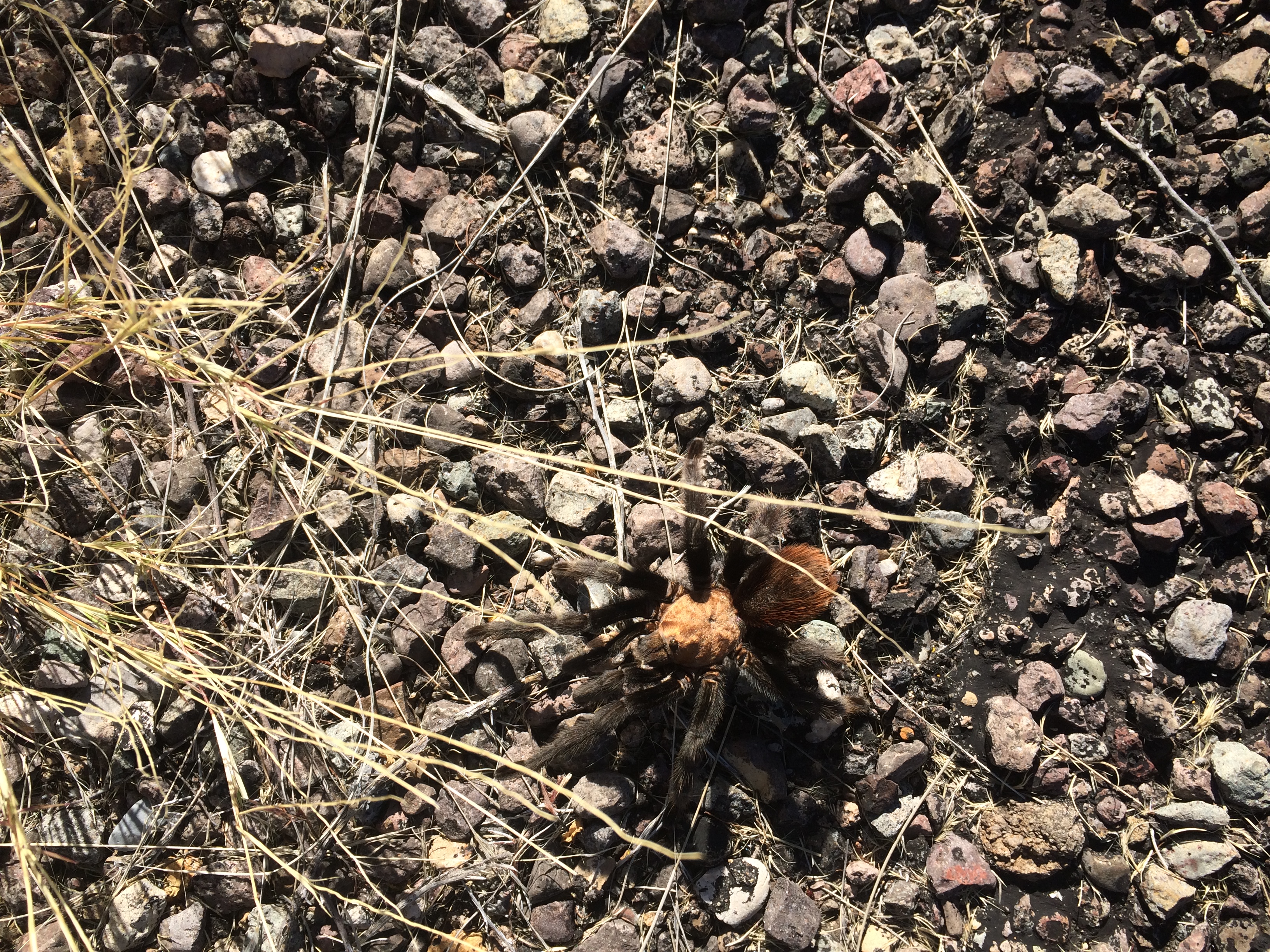
Just north of Presidio, you take FM-170 west to Chinati and then Candelaria. Saw my first live tarantula. It was so big that I could see it in the road as I approached it at fifty mph. In my haste to record it I forgot to put down anything for scale, but this one was almost as big as my hand.
CBP grooms the roadside along FM-170 by pulling section harrows behind their SUVs, presumably to aid in tracking efforts. They weigh them down with big skidder tires and leave all this stuff lying along the right of way. I was puzzled as to their purpose until I saw a guy pulling one. Too bad I didn’t have the GoPro mounted to the van.
I have learned to be proactive with CBP, so I always stop and introduce myself when I see a unit, just to let them know what we’re doing. On this occasion, the guy informed me that he’d already heard about us because they’d been tracking “a single” down Chispa. That would have been Mark.
Pulled into Chinati Hot Springs and this was the first thing I saw.
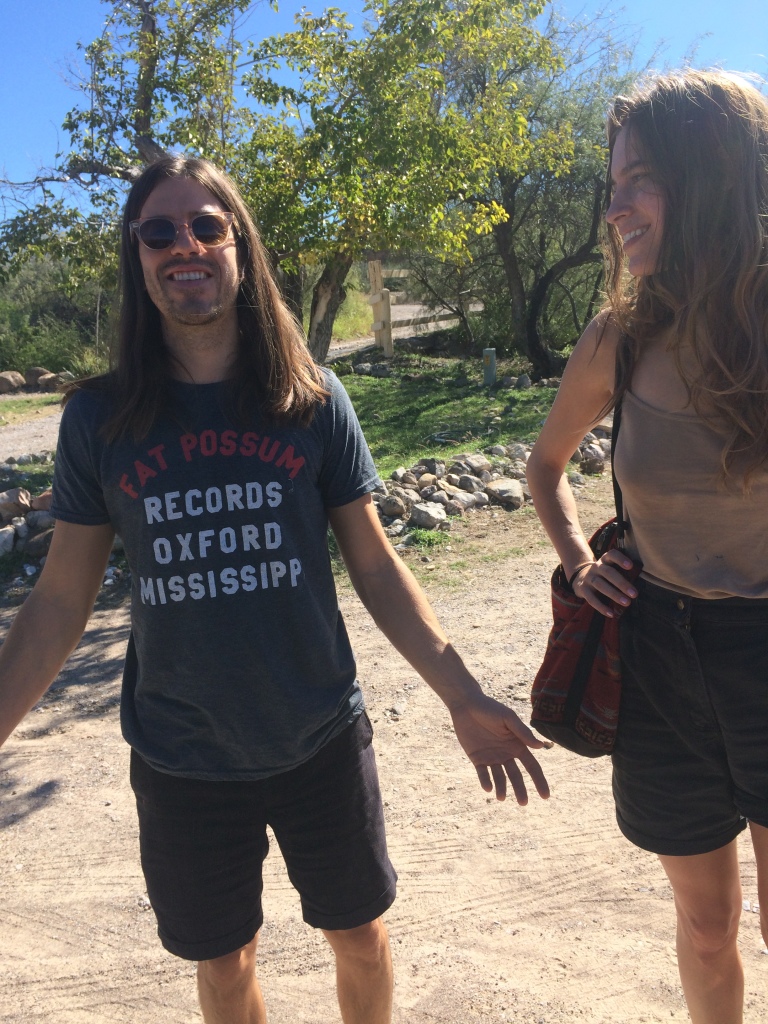
That’s Nate from Pure X (and his friend Amy) reppin’ Oxford.
Diana, the manager of Chinati, was a first-class hostess and a big help to us in maintaining communications, navigating routes, meeting people, and all the other things we depend upon with respect to the kindness of strangers. She also had us a great little place to stay. Diana, you are like totally awesome!
Got some scenics and aerials, took in a stellar sunset, had a soak, and called it a day.
Tuesday 11/11
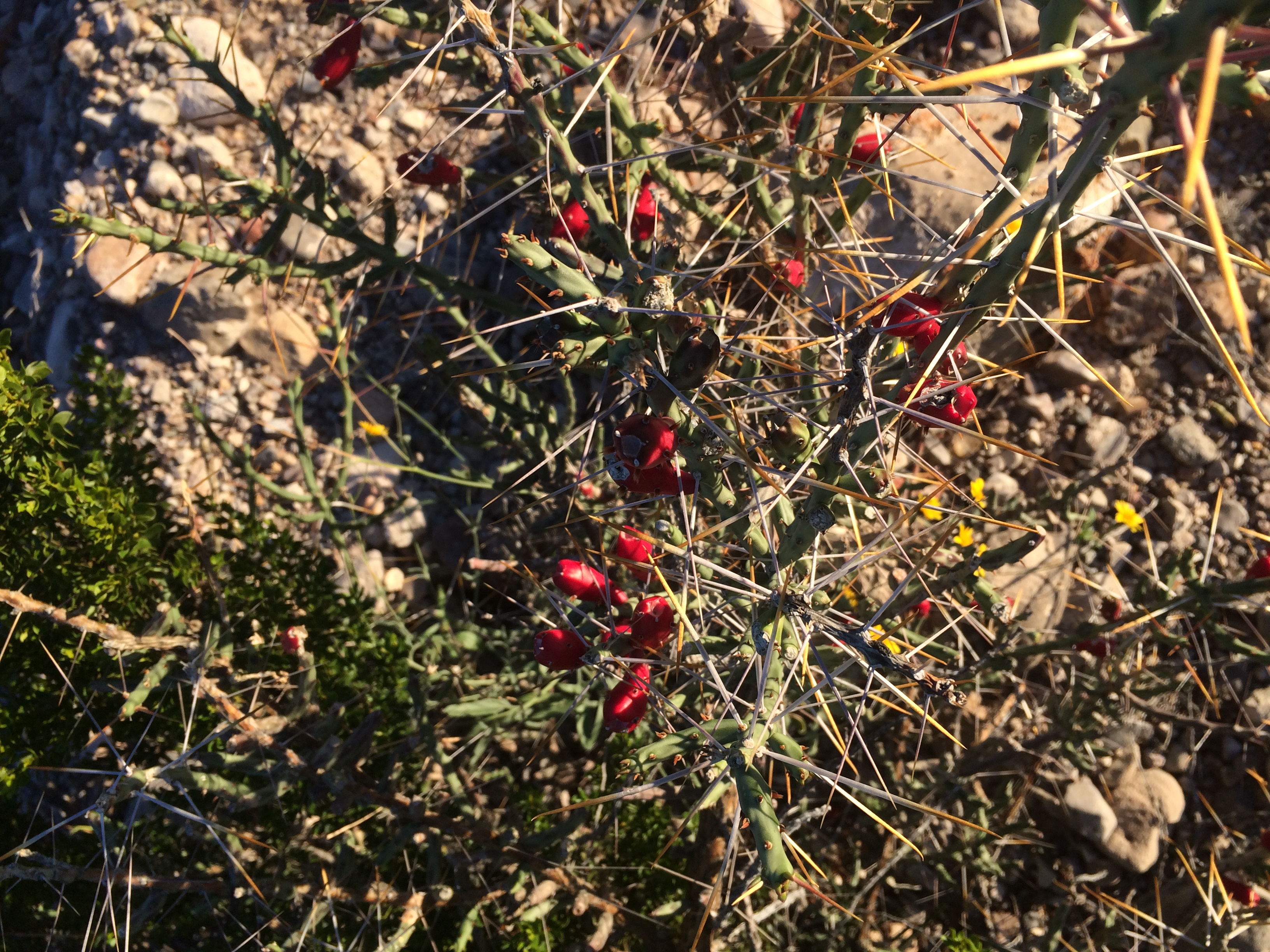
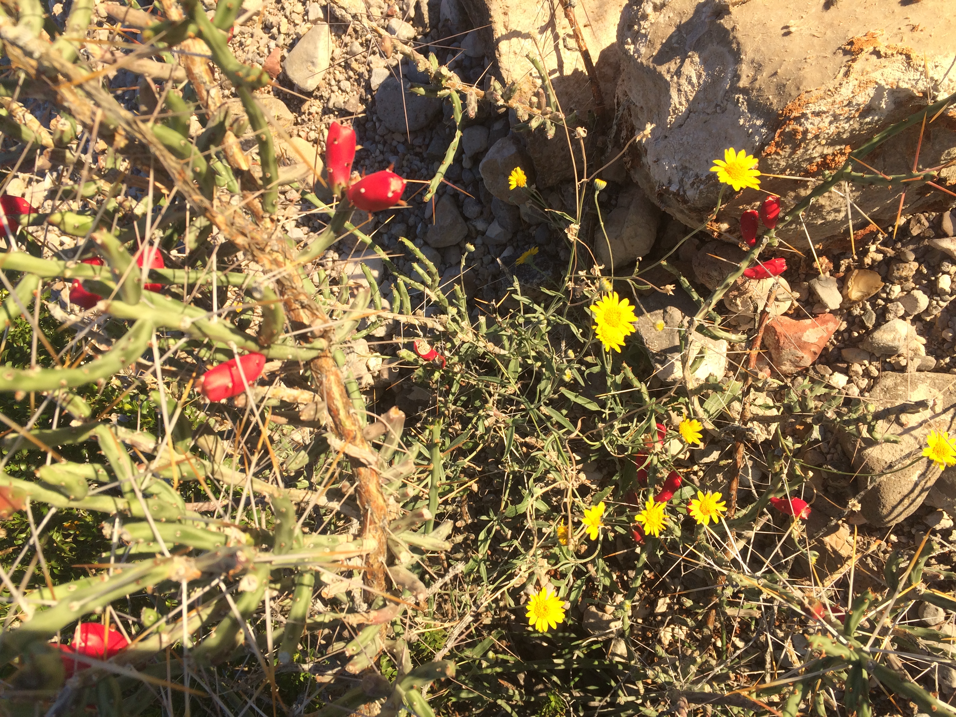
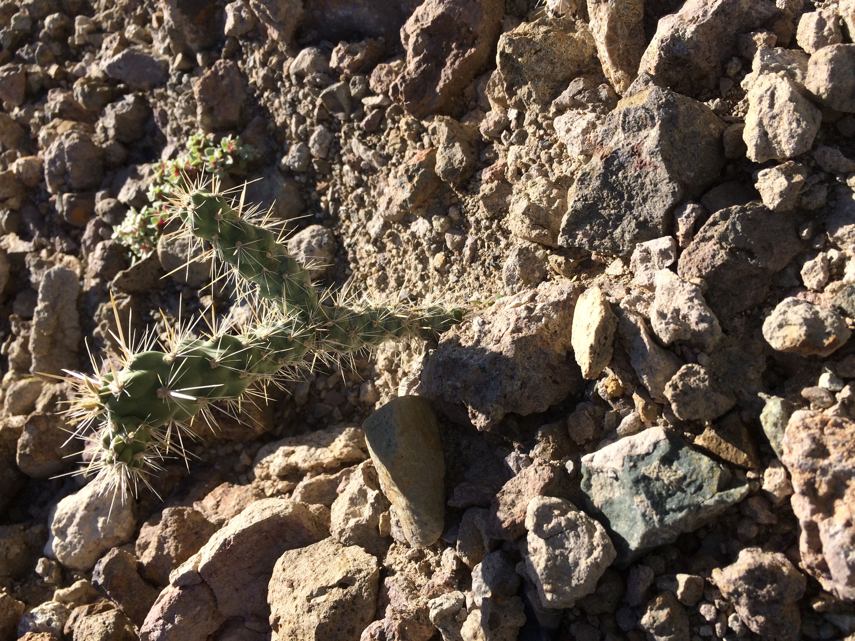
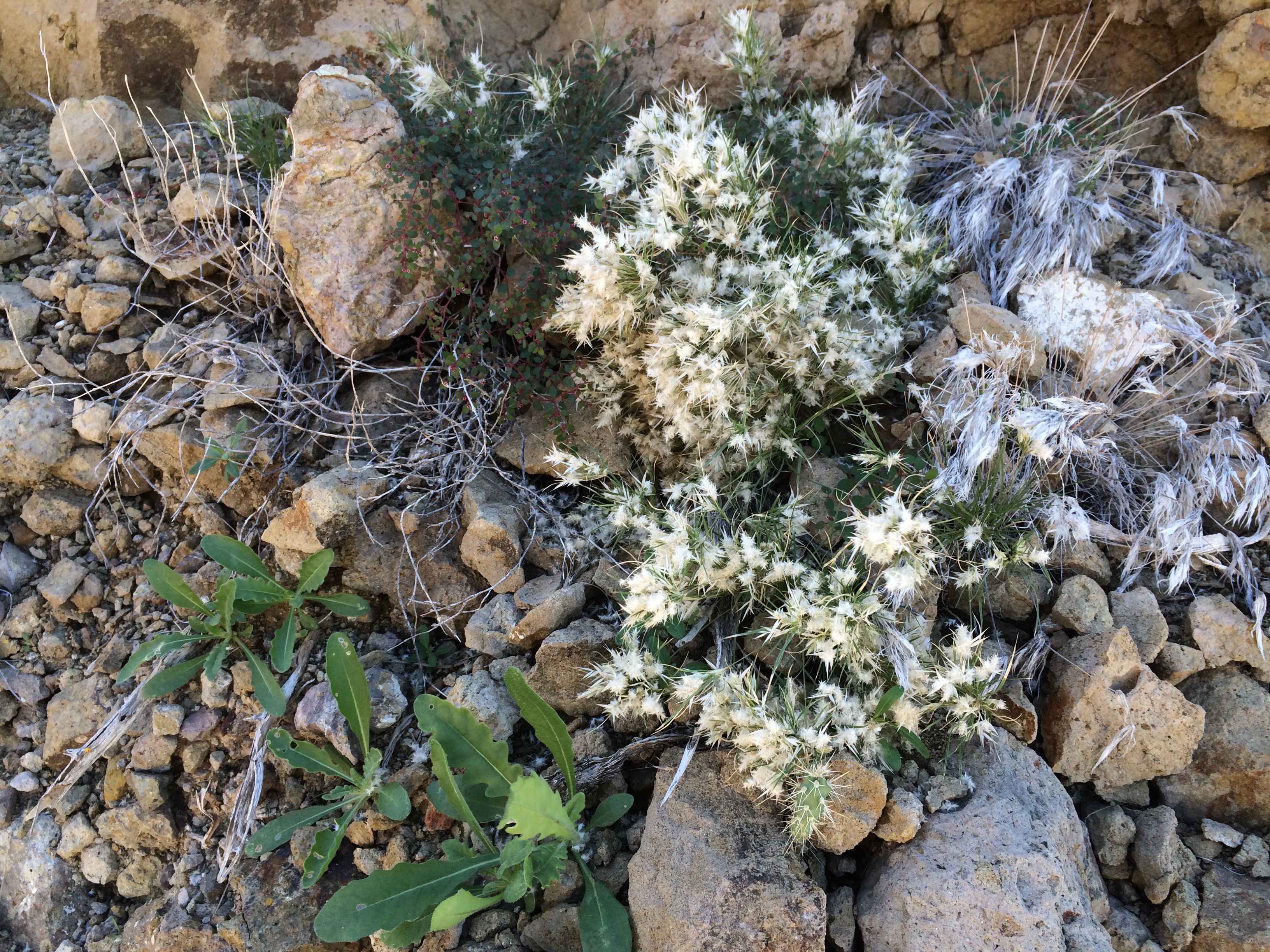
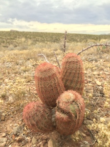
Got up and out before light to get positioned for some scenics and aerials at dawn. Sunset used to be my favorite time of day, but I think I’m coming around to sunrise. The light is just magnificent at either time but there’s something about the dawning of a new day that is really inspiring. Here are a couple of pictures of what I’ve always called a Christmas cactus. They’re everywhere in the Chihuahua desert.
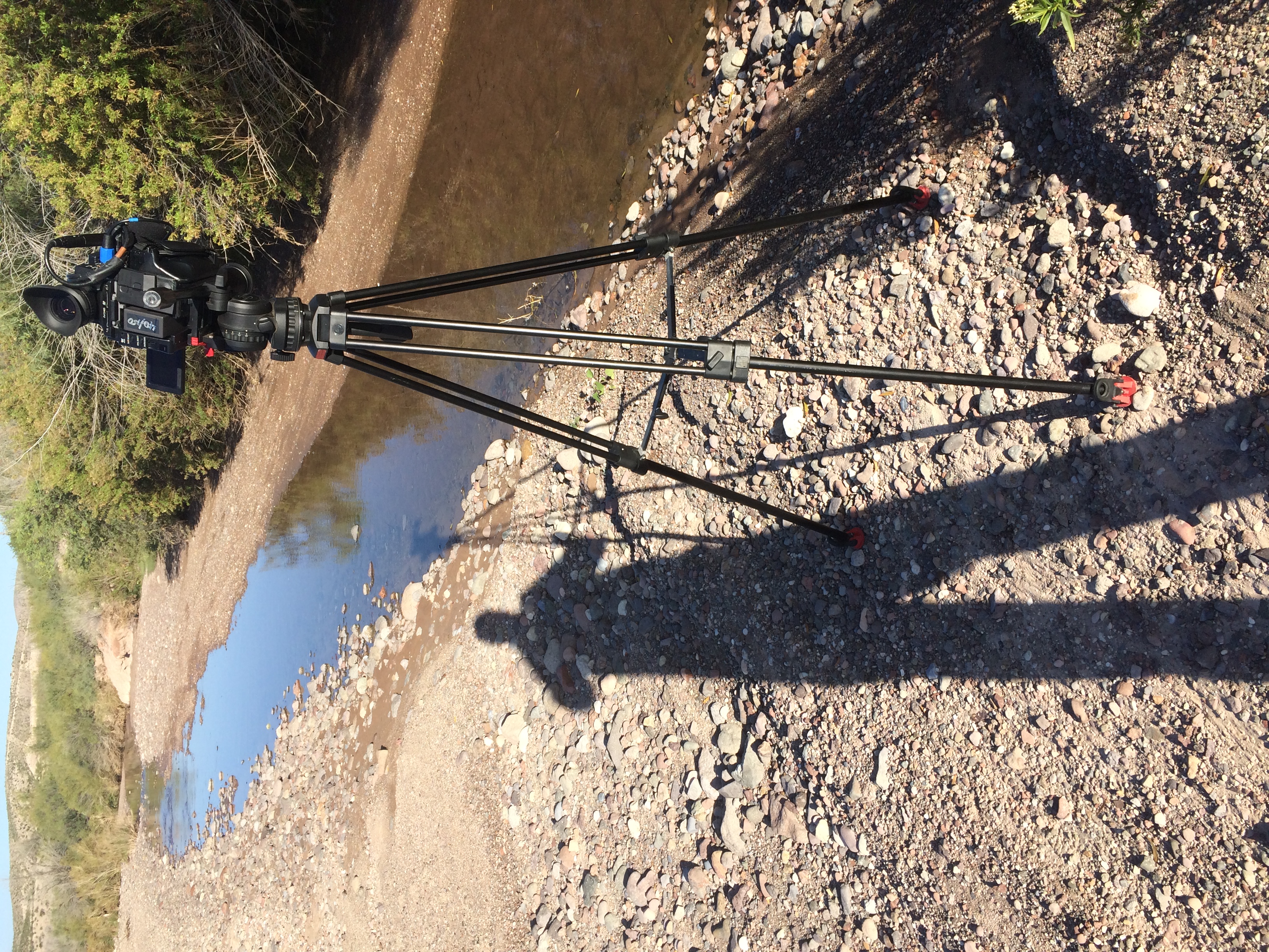
Drove out Chispa Road from Candelaria and came across Capote Creek, which was still running a bit due to all the rain we had up north last week. Got some really neat shots of a thistle seed meandering around in the current. Even deployed the GoPro and made good use of its underwater housing.
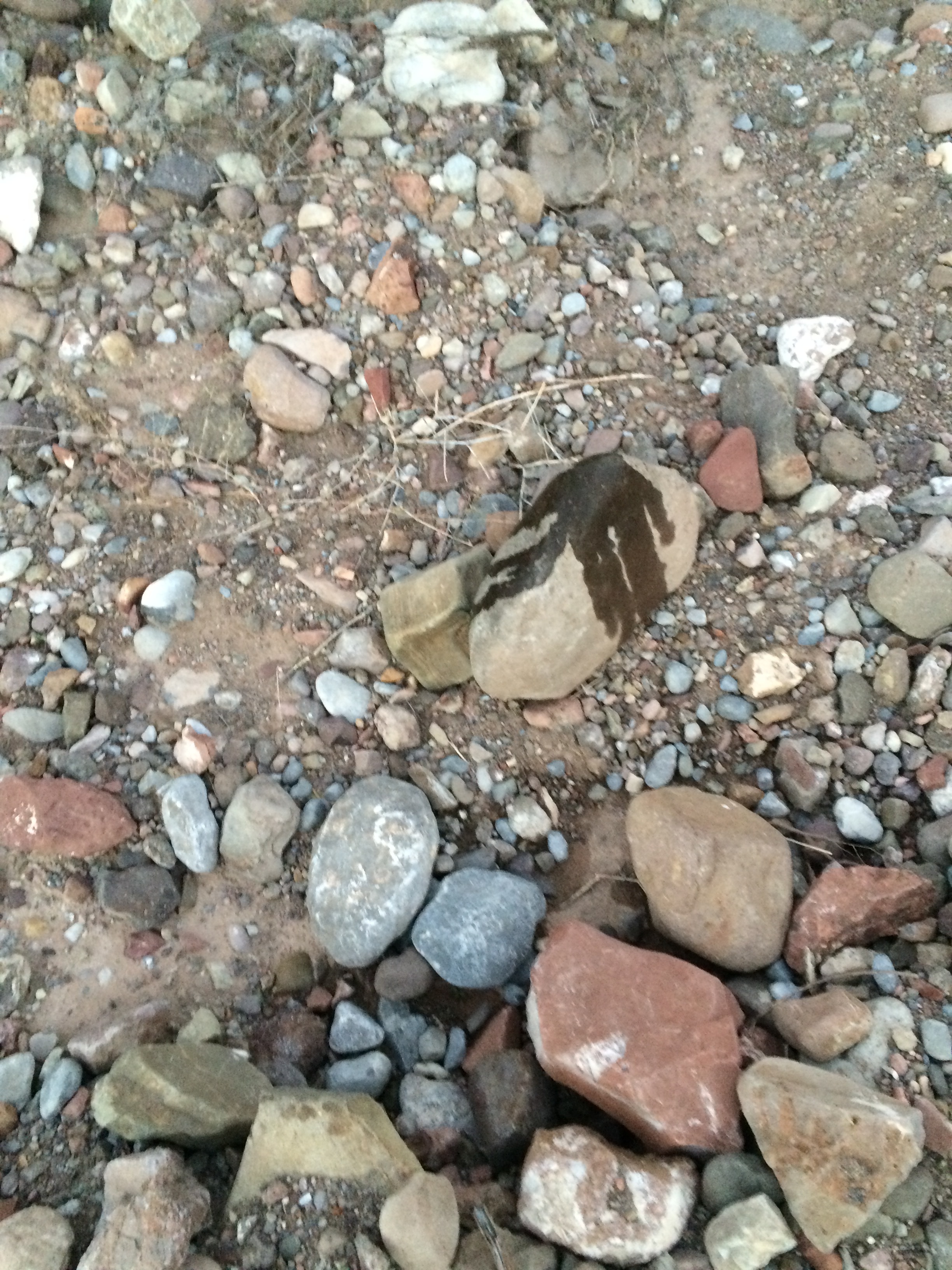
These are the tracks of feral swine. We saw lots of their sign.
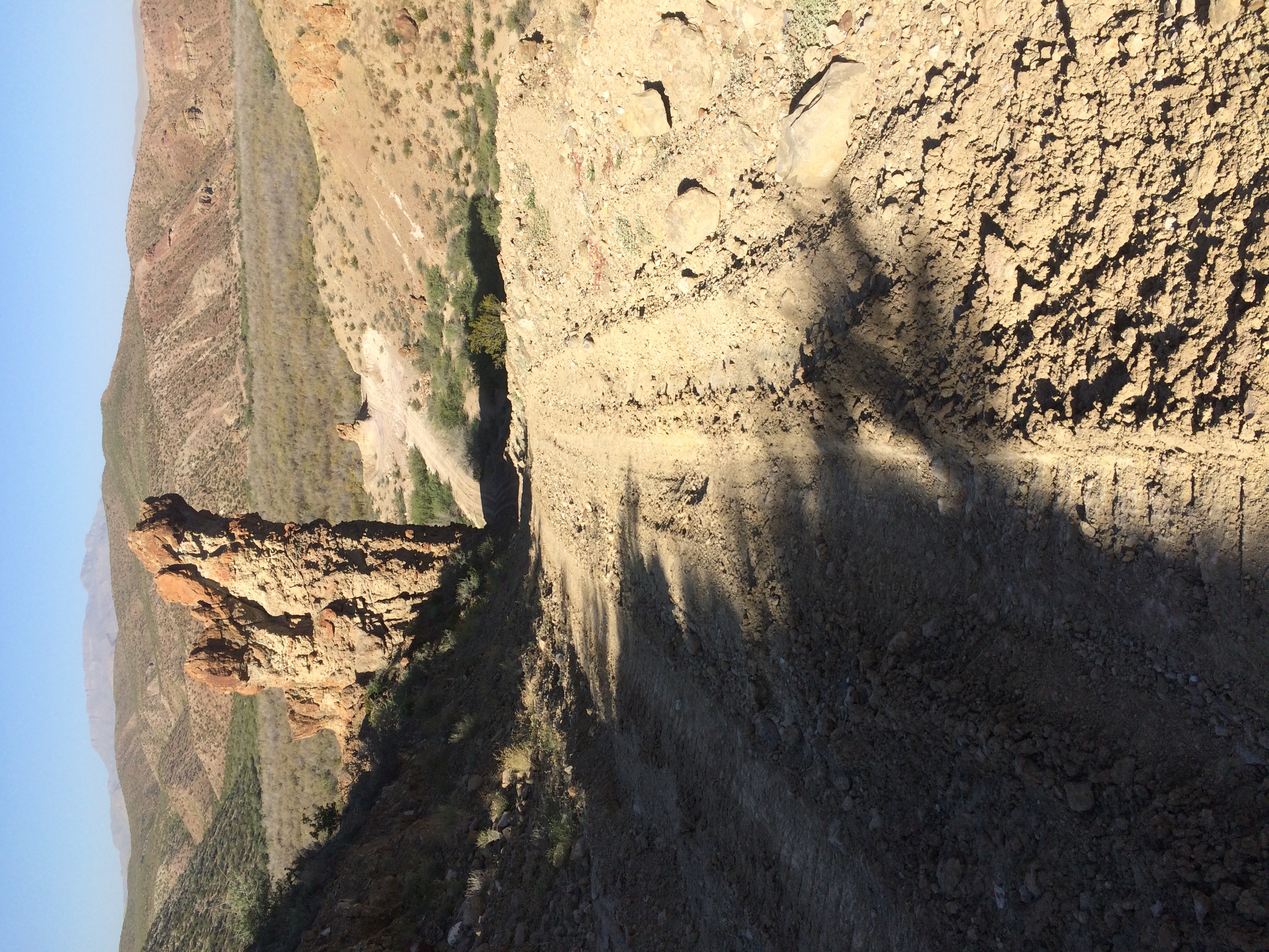
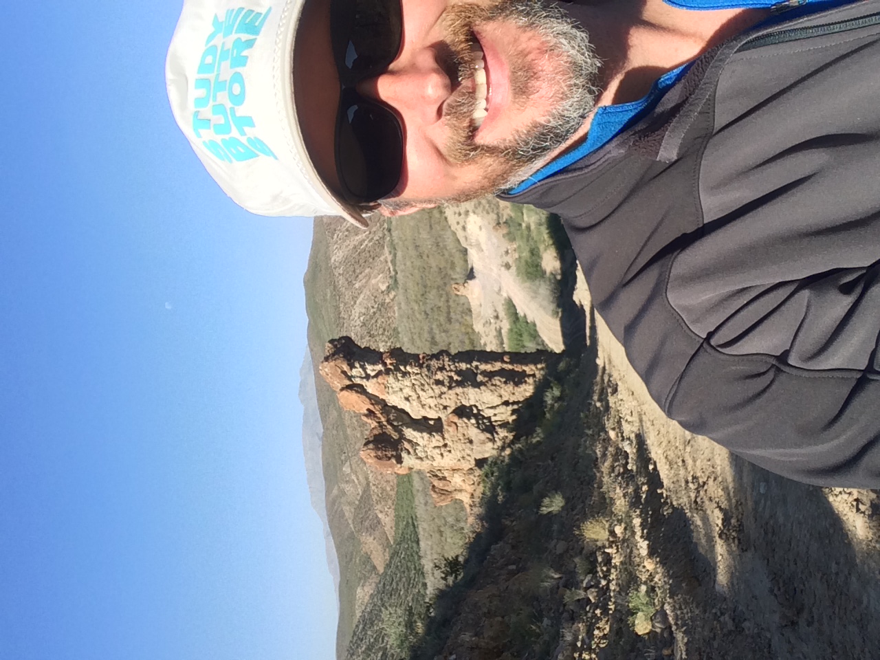
While shooting here, I was approached by two CBP units: one was an SUV and one was a quad, and each had two agents aboard. They were quite nice, even more so than most, and we talked at length about the area. One guy was from Study Butte, so he liked my cap I got on another adventure out here years ago. I told them I was going to Godzilla Hill, and they volunteered to lead me out there just to make sure I could make it. They also told me that their nomenclature for that area was BFR. I wonder what that stands for?
We talked for a while at the top of the hill, and about five minutes after they left, I heard a thumping noise in the distance. Standing in a pass with thirty-foot sides, I could not see anything due to my very limited view. The noise grew progressively louder until a CBP copter appeared over the cliff and passed less than a hundred feet over me. I guess they just happened to be in the area.
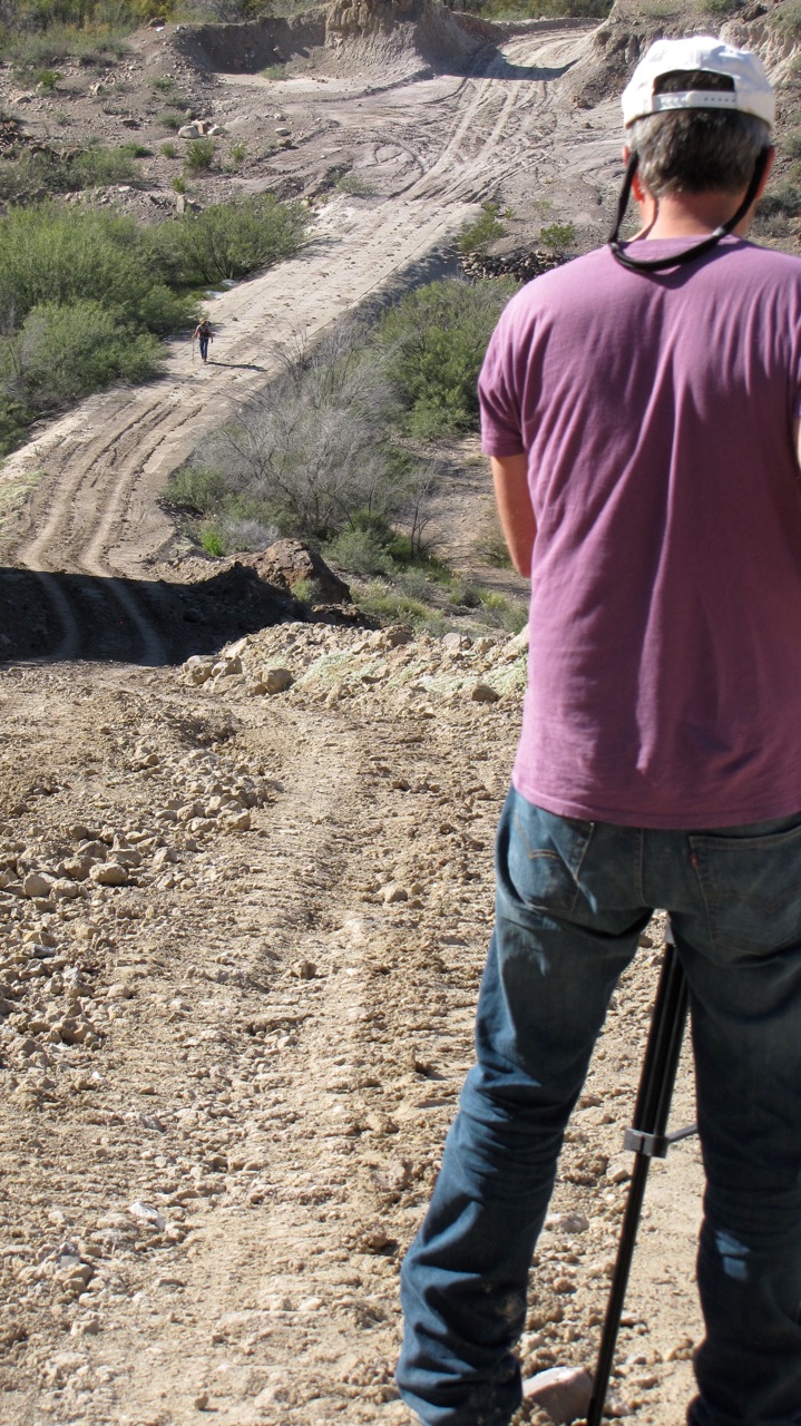
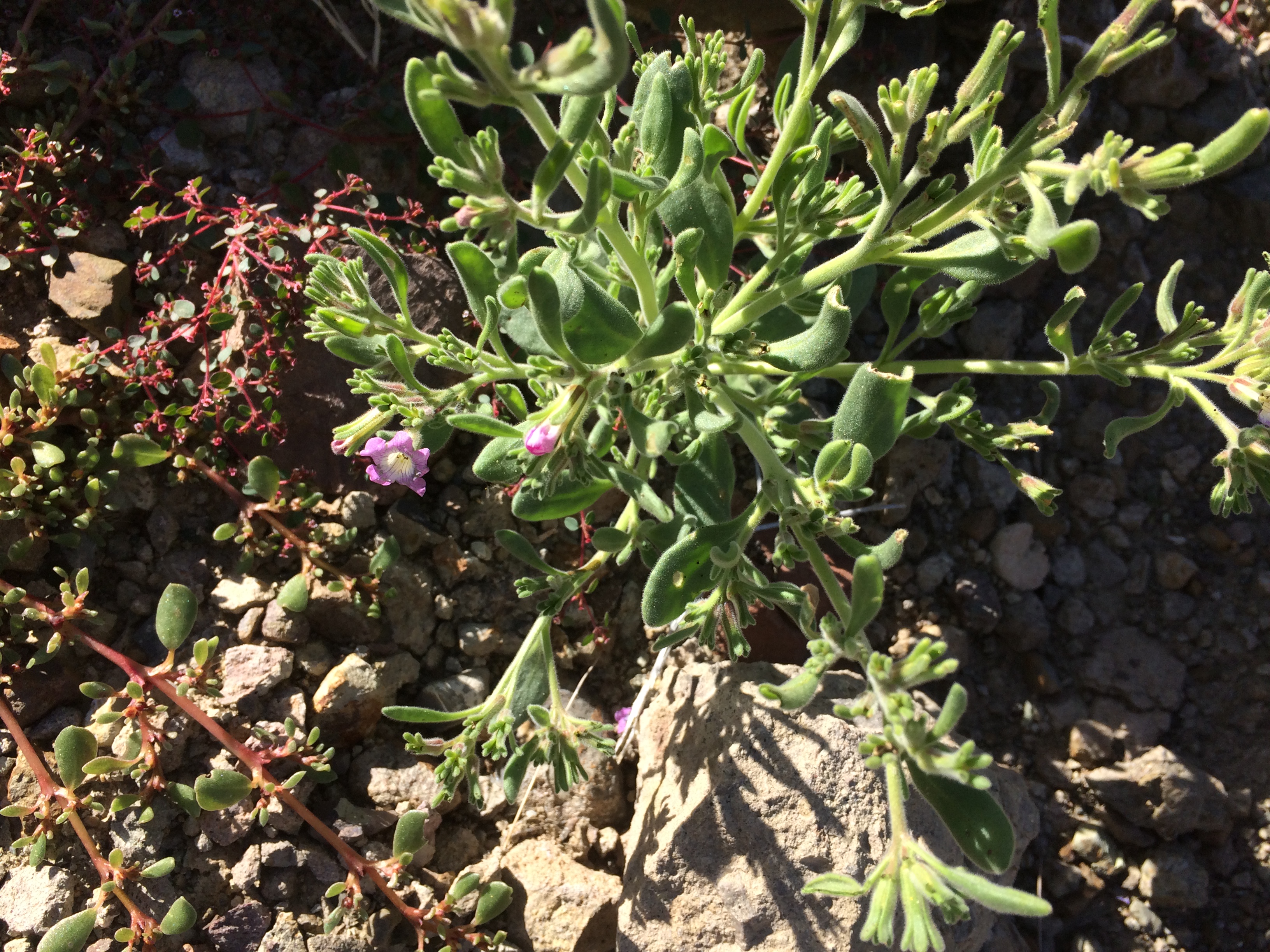
I wanted to get our hiker scaling Godzilla Hill, so I set up and waited on Mark. And waited. And waited. I grossly miscalculated his arrival time, so I had plenty of time to take a few snaps of the vegetation in that area.
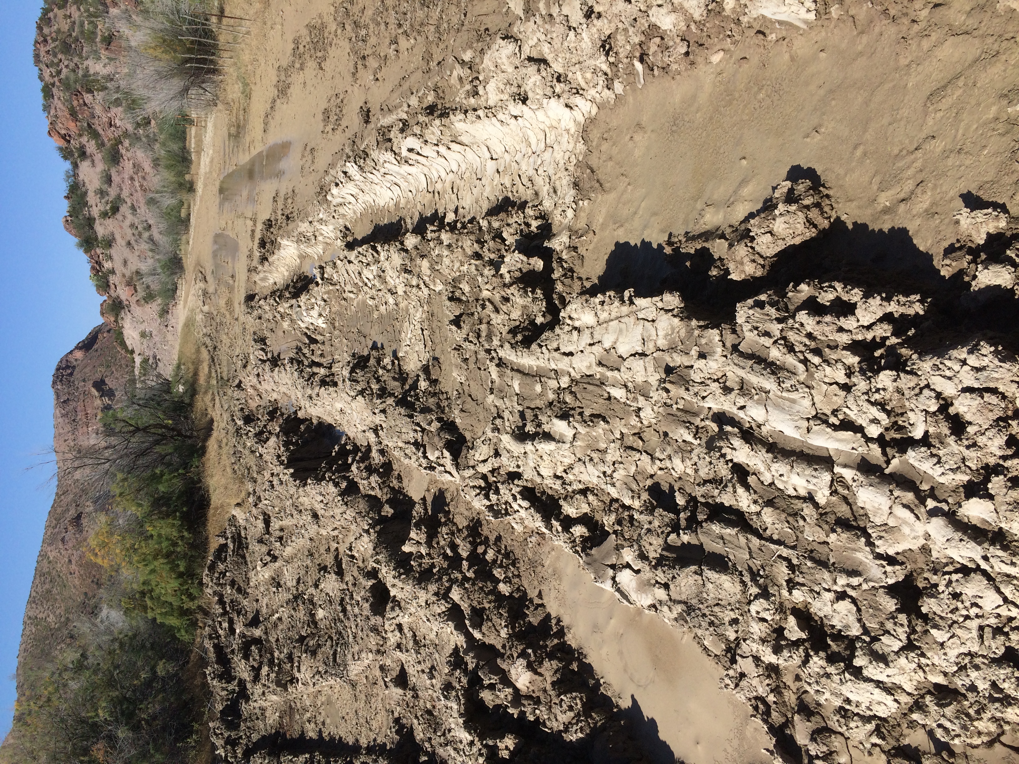
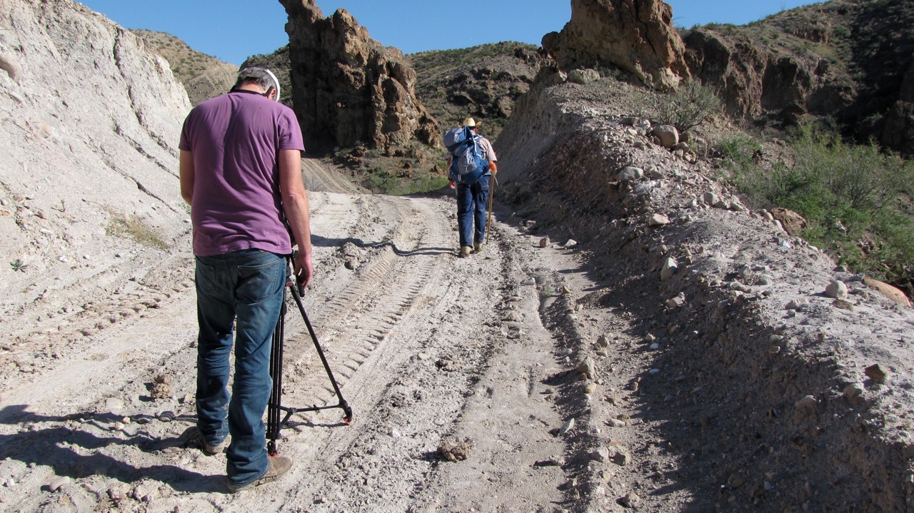
Simons and Ronnie arrived in Mark’s 4WD pickup, so we descended Godzilla Hill, rounded the corner, and came upon this mudhole.
So I set up and waited some more, where Ronnie caught me in repose. Rocks and dirt clods can actually be fairly comfortable.

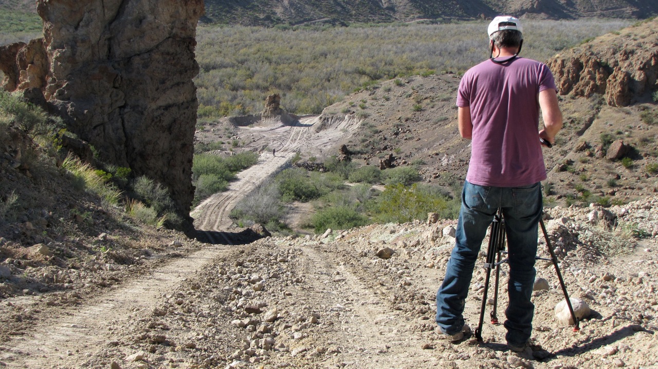
By now Mark was about three hours late, and I was beginning to worry because this thirty-mile stretch along the river is some of the wildest and most remote in all of Texas. I hiked up the trail about a mile, where I could see another half mile or so, and didn’t see him. I went back to discuss it with Simons and Ronnie, and just as we agreed that we would summon CBP in another fifteen minutes, Mark appeared.
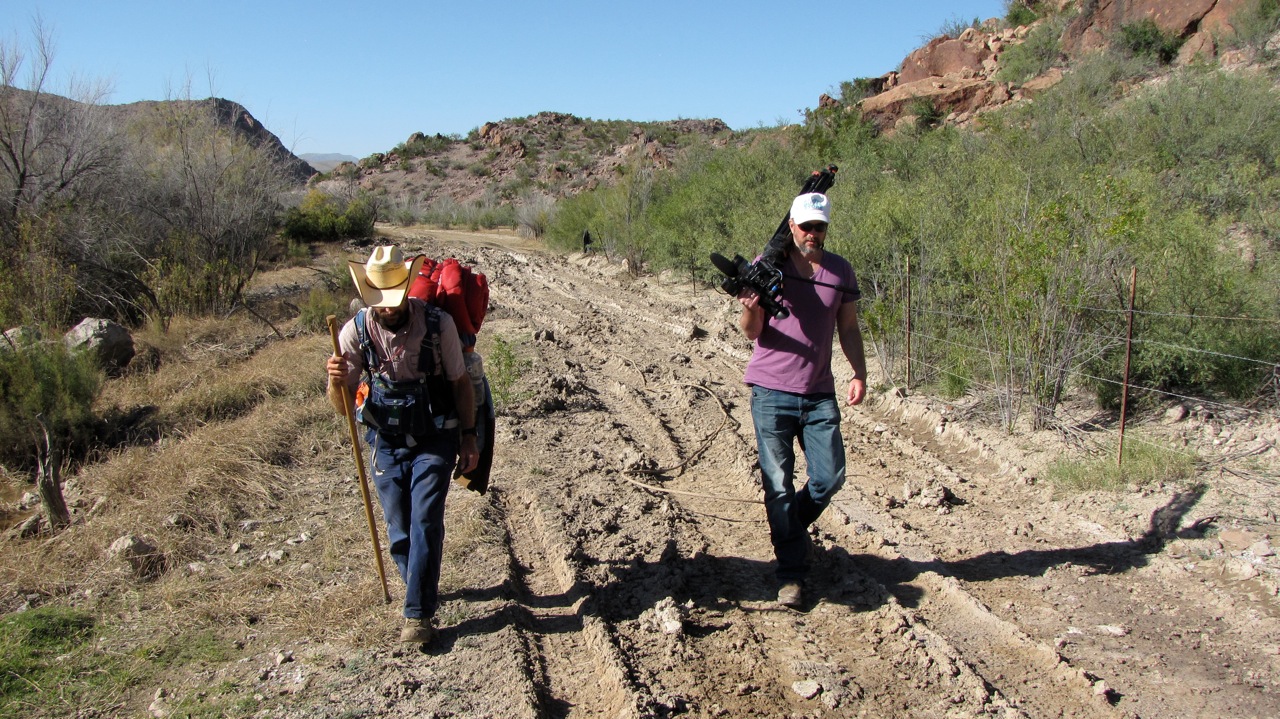
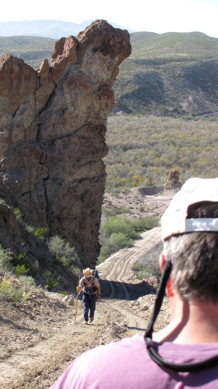
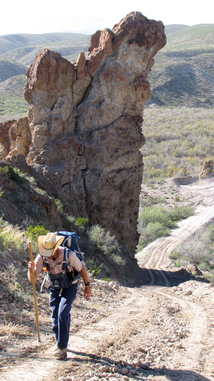
Mark had only walked about fifteen miles on this particular day, so I pulled a total directorial diva move and told him we had to have him scale Godzilla Hill while the light was good. Trooper that he is, Mark made it up without stopping. This was such a dramatic scene. I only wish I could have gotten some epic aerials, but it was just too windy through this little canyon.
Got back to Chinati and had a soak and a beverage, gorged on leftover tamales, and turned in early.
Wednesday 11/12
Took Mark out to BFR at dawn to resume his trek. On the way up Chispa, two coyotes ran ahead of us in the middle of the road for about a half mile. I was amazed at how bold these were; at home, you will only catch a fleeting glimpse of one. While we were following them, one stopped twice to urinate in the road. I got the camera out and was able to grab a decent handheld shot of the one taking its third leak. If you’ve never seen coyote urine splashed on a rock, you’re in for a real treat.
One thing that struck me on this particular morning is how quiet it was. Wherever you are, you can usually hear a truck, airplane, gunshot, or some other aural indicator of civilization. Out here, there was absolutely nothing but wind and birdsong. The soundscape really is as sublime as the landscape. Got some absolutely epic aerials with the undulating terrain and sunrise over the mountains. Here we are about to get going at dawn.

I hope you’ve enjoyed this third dispatch from LA FRONTERA. I will update again after we get down through the Big Bend area.
Welcome to week 2 of LA FRONTERA.
Sunday 11/02
Went to Socorro and visited with Tanya Carbajal and family at her grandmother’s farm. Tanya is the daughter of Orlando Carbajal, a farmer we met in Fort Hancock last week. Tanya is a student in journalism and new media at UTEP, and she is just as good in front of the camera as she is behind it. She gave me a good idea of what it was like growing up in Fort Hancock and her positions on border security and immigration justice.
I was invited to stay for an afternoon meal, but declined because I had an appointment later that day in Sierra Blanca with Bill and Lupe Dempsey. Bill and Lupe have a ranch near the border and they are quite concerned about border security. They promised to take me to the mysterious footbridge that spans the Rio Grande near their place.
On the way to the Dempseys’, I got a call from the Right Reverend Jack Chappell, the inaugural Tex-Mex Compadre. He had been scouting a route to the river down Chispa Road, and got a flat on Mark’s truck. Undaunted, we deployed my wife’s roadside emergency unit that I just so happened to bring along.
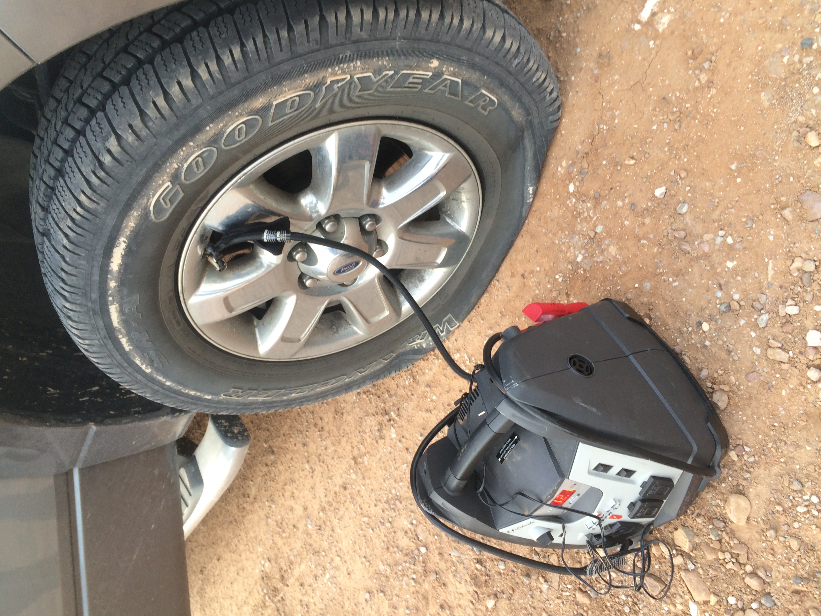
Unfortunately the tire was so damaged that air was leaking out almost as quickly as we were putting it in. Mark had a flat on the way to Texas, so this was actually his spare tire that was now flat. The original tire was in the back of the truck, still flat, so we put it in the van and took it to town.
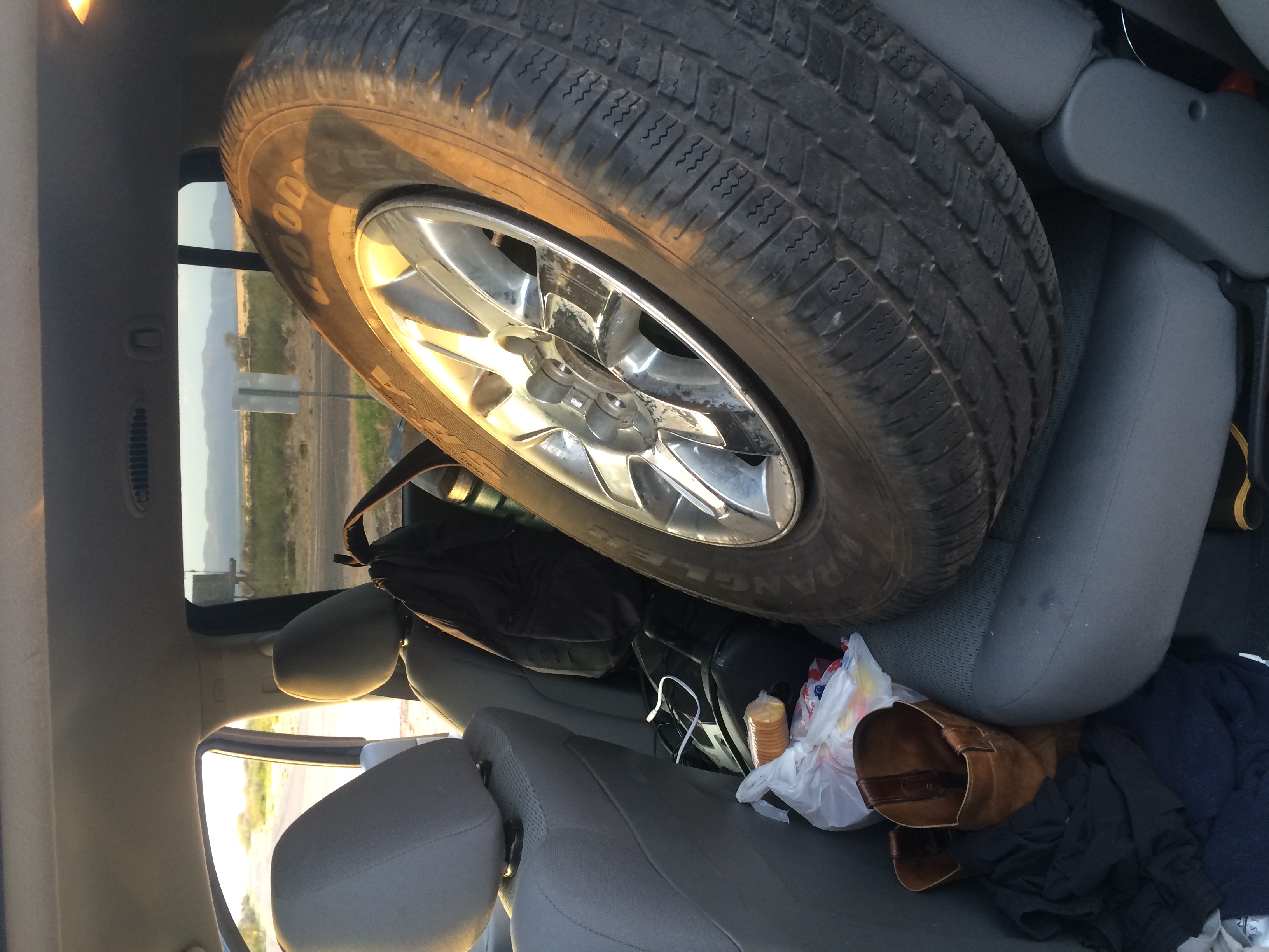
Mark was quite nervous about leaving his truck overnight in such a remote area, but when we arrived the next morning to change the tire, everything was fine. We made a note not to travel on the back roads without a spare from now on. The chance of a flat is very high due to rocks, mesquite thorns, and who knows what else.
Monday 11/03
Went to Red Rock Ranch with Darice McVay. The ranch is her family place and it’s as pretty a place as I’ve ever seen. The sublime precambrian rock formations provided excellent aerial opportunities, so I deployed the copter often. It’s always interesting to see what kind of selfie I get while initializing it.
Got a great interview with Darice, a passionate conservationist, who talked about her efforts to preserve and protect the ranch while still being able to make an income from it. She has worked with the Texas Department of Wildlife to reintroduce bighorn sheep to the ranch. Last winter, when the temperature never got above 18 degrees for three days, two older radio-collared mountain lions died from exposure.
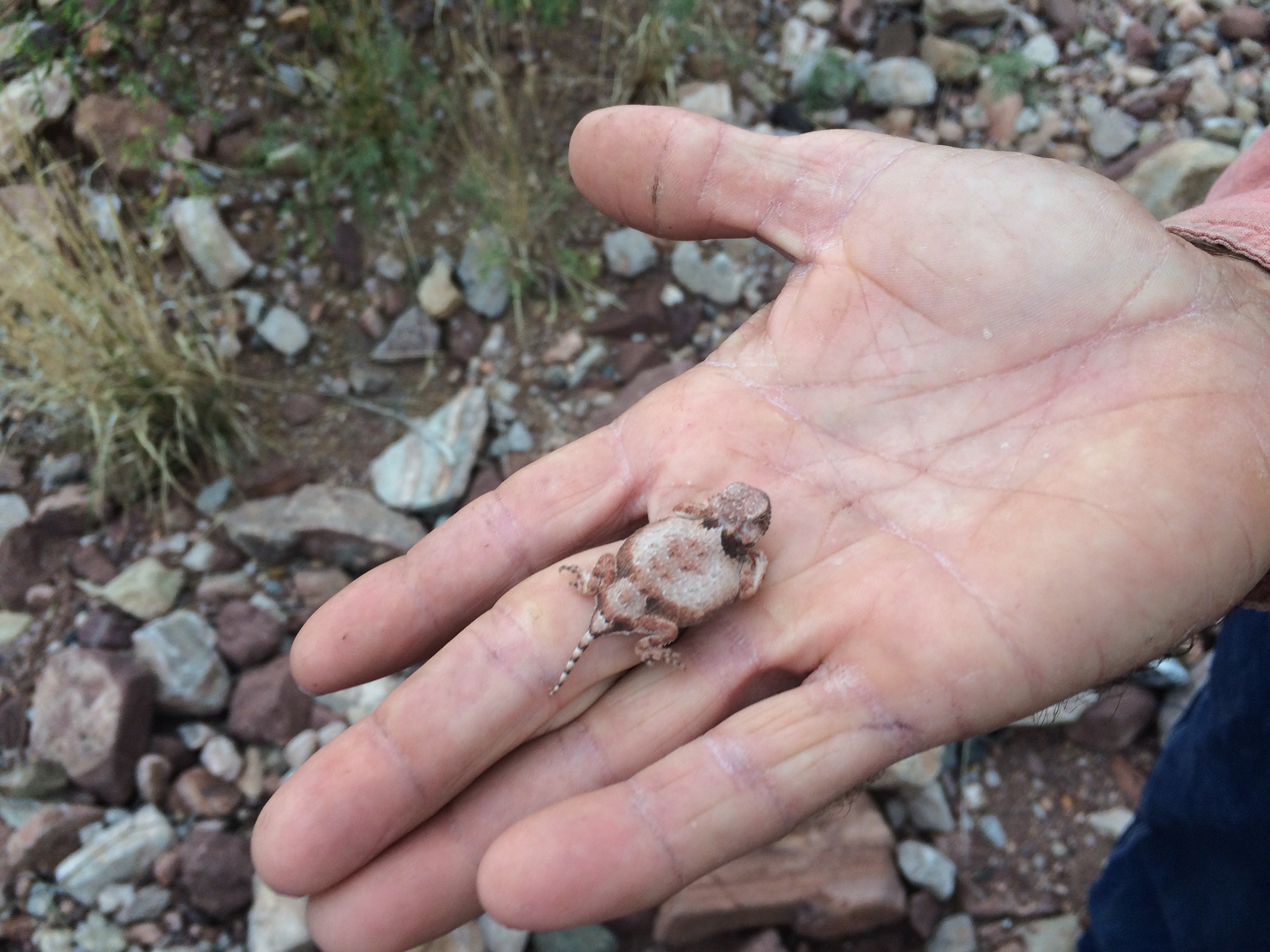
I was pleased to spot a juvenile horned toad scurrying along the path.
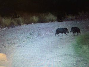
We also saw javelina, which are native animals and nothing like the feral swine we find in Mississippi.
Here’s a little cactus that a javelina tried to gnaw.
All in all, it was a great day that will be hard to beat.
Tuesday 11/04
Slow day due to constant drizzle. I wanted to see it rain in the desert, and I did. Unfortunately it was 40 degrees while doing so. Had some time to reflect on the production process and came to a few conclusions.
There is only so much one person can do on a project like this, so I find myself having to constantly prioritize and therefore make compromises. For instance, the only chance at interviewing a person might mean missing an opportunity to get scenics during the magic hour. Timing is so important and things don’t always happen when I’d like for them to happen, so I have to just do what I can and move on.
I’m always shooting B-roll but I never feel like I have enough. It’s challenging to give a sense of place from a variety of perspectives. Remember how you went on vacation as a kid and took a bunch of pictures of the Grand Canyon or something, and when you got back and saw them they didn’t look nearly as great as the real thing? That’s what I try to overcome every day. It’s difficult to capture the grandeur of such vast landscapes, so one thing I do is try to focus on the details. I try to notice the little things, like a shard of a broken telephone insulator by the railroad tracks, or the path a turtle left as it dragged itself across the mud. There’s only so much that the eye or camera can capture on such large scales, so I like to sprinkle these detail shots around like magic pixie dust to add interest and really give a sense of place.
A formally lit interview is not always possible, nor is it always appropriate. Sometimes all you can or want to do is put somebody in a big room, turn on all the lights, set a custom white balance on a white card, and get it done.
Battery life is a constant concern. As a mobile production unit, I have a charging station going at all times with spare batteries for the copter and the GoPro. Camera battery life isn’t as worrisome, but aerials require a constant rotation of fresh batteries.
Happily, card capacity is really no longer a concern. I never thought I’d say that, but thank goodness for Moore’s Law.
Wednesday 11/05
Interviewed Wayne Edgin, the Hudspeth County EMS President, at the courthouse in Sierra Blanca. He has a really unique perspective on life in this region given his EMS responsibilities and prior experience in law enforcement.
Went to Orlando Carbajal’s farm to get some coverage to play over his daughter Tanya’s interview.
Finally got up with Bill Dempsey. Unfortunately it was drizzling and almost dark, but he was gracious enough to take me out anyway. Bill is one of Sheriff Arvin West’s deputies, so we loaded up into his Deputy Sheriff’s vehicle and went out to the footbridge. It’s a very strange scene down there. The river has been channelized in this area, so there’s a good levee road which is clear for about a hundred yards from the river on the US side. On the Mexican side, it’s all overgrown, but there is a poorly maintained trail along that side of the river. The footbridge itself is a narrow steel structure that’s presumably used for maintenance purposes, but it’s completely unsecured. I walked to almost the center, trying to make sure I remained in US territory. There are no gates on it or anything to prevent people from just walking the 10 yards across from one country to another. There was also no CBP presence down there. It was dark and raining harder by the time we got there, so unfortunately my footage was less than ideal, but I did what I could and got Bill to give his thoughts on the arrangement.
It was almost completely dark when we left. On the way out, I looked 40 yards across the river and saw a pickup truck pulling a trailer behind it with 8-foot wooden sides. They were blacked out and could obviously see us. We waited to see what they would do, and when they crept on past the footbridge, we went on our way. The people on the other side could have been completely innocent in their presence there, but Bill felt like the trailer was full of either people or drugs.
This experience was the first of the trip to make me uncomfortable. The border is wide open down here.
Thursday 11/06
More rain and wind and no meetings lined up so not a lot to do. Did get some really cool footage of a giant flock of blackbirds bugging around cows, and when they flushed, a hawk dove down and nabbed one. Animal behavior, baby. Phil, one of my mentors from film school, would be proud.
Friday 11/07
Spent a great morning with Chuy Calderon, the mayor of Valentine and a science teacher with the Valentine ISD. Valentine is a community of about 125 people, and there are 39 students in grades pre-K through 12. Texas law prevents the closure of a school that’s more than thirty miles from the nearest school, so Valentine ISD perseveres. Its students are outstanding scholars and go on to successful academic careers at a variety of colleges and universities. Chuy is a steadfast civic leader, having been born and lived in Valentine for his entire life. He works tirelessly for the town in the hopes of generating some sort of economic development that will also maintain the high quality of life they have all come to know. Chuy is also a big fan of the CBP, and attributes much of the relative safety in Valentine to them.
The CBP maintains a very visible presence along this stretch of US 90. Mark was questioned three times in the span of two hours by three different agents, which tells you something about their communication. I have not been bothered in this area, although an agent did check me out in Valentine while I was doing some aerials over the cemetery. He moved on past, so luckily I didn’t have to try to talk to him and pilot the copter simultaneously.
One very surreal thing you see on the horizon as you head towards Marfa is a giant blimp. The opportunity to fly our drone over theirs was almost too much to resist, but I decided that probably wouldn’t be prudent.
The landscape from Valentine to Marfa changes pretty dramatically as you get into the Marfa grasslands. You see less cacti and shrubs and more grass, so cattle grazing is more prevalent in this area. If you read my last blog, you know that I had to dodge a couch on I-10 in Dallas. Here’s a typical traffic obstruction east of Valentine.
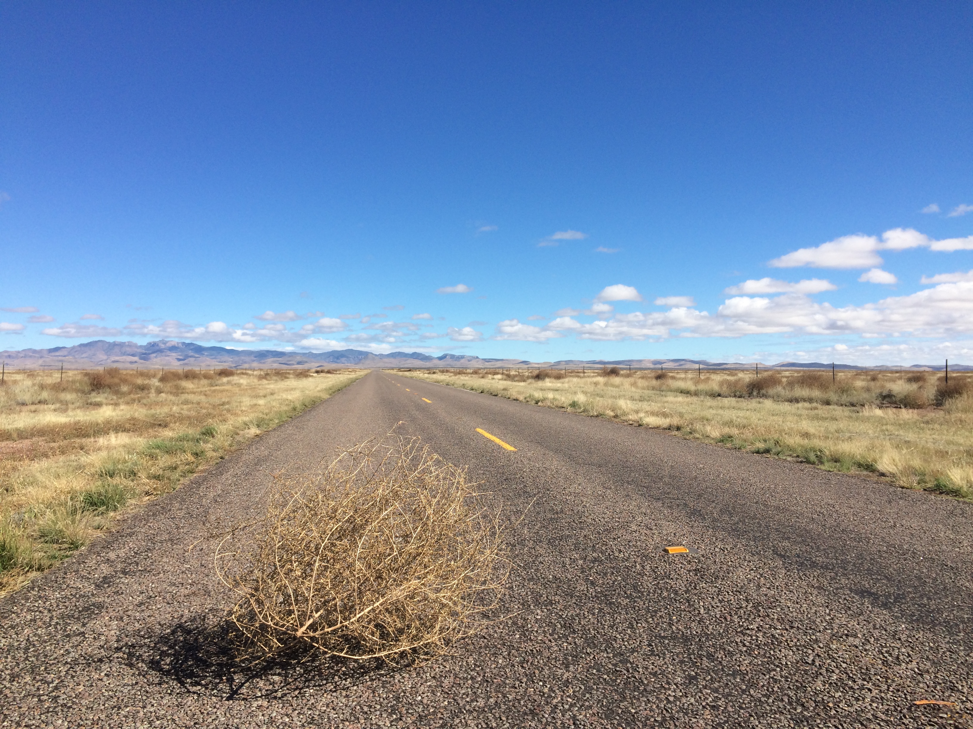
Interesting factoid: tumbleweeds, the iconic plant of the American West, are an invasive species from Russia.
Saturday 11/08
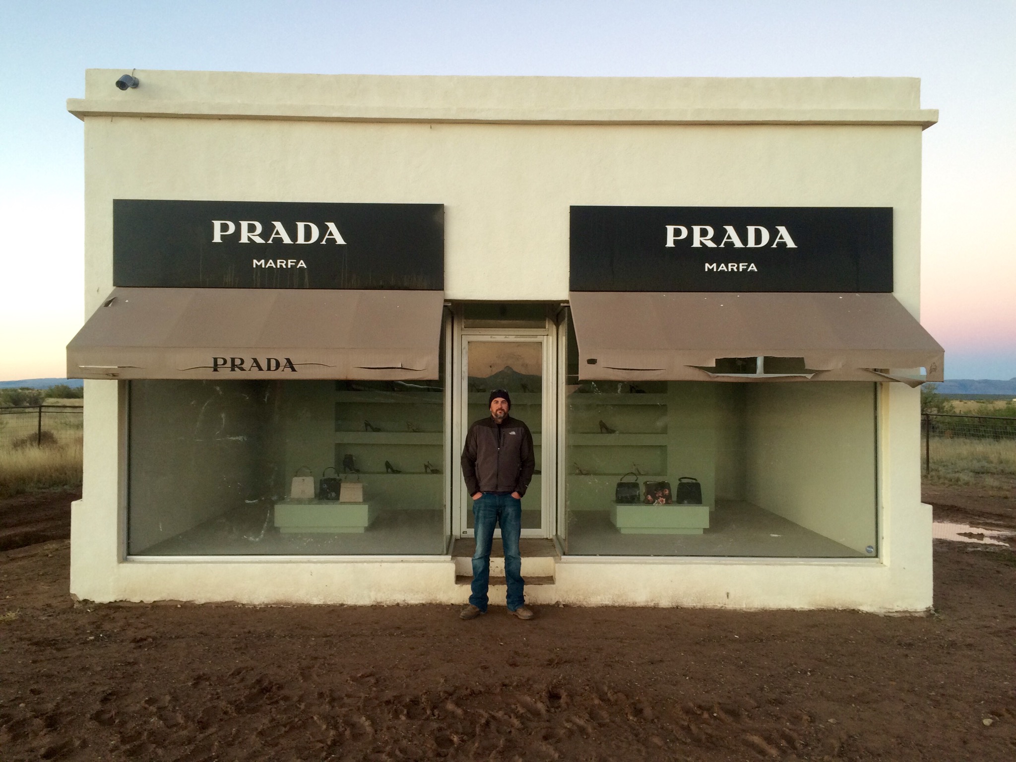
If you ever find yourself on the 74-mile stretch between Van Horn and Marfa without any designer purses or shoes, you can always stop here.
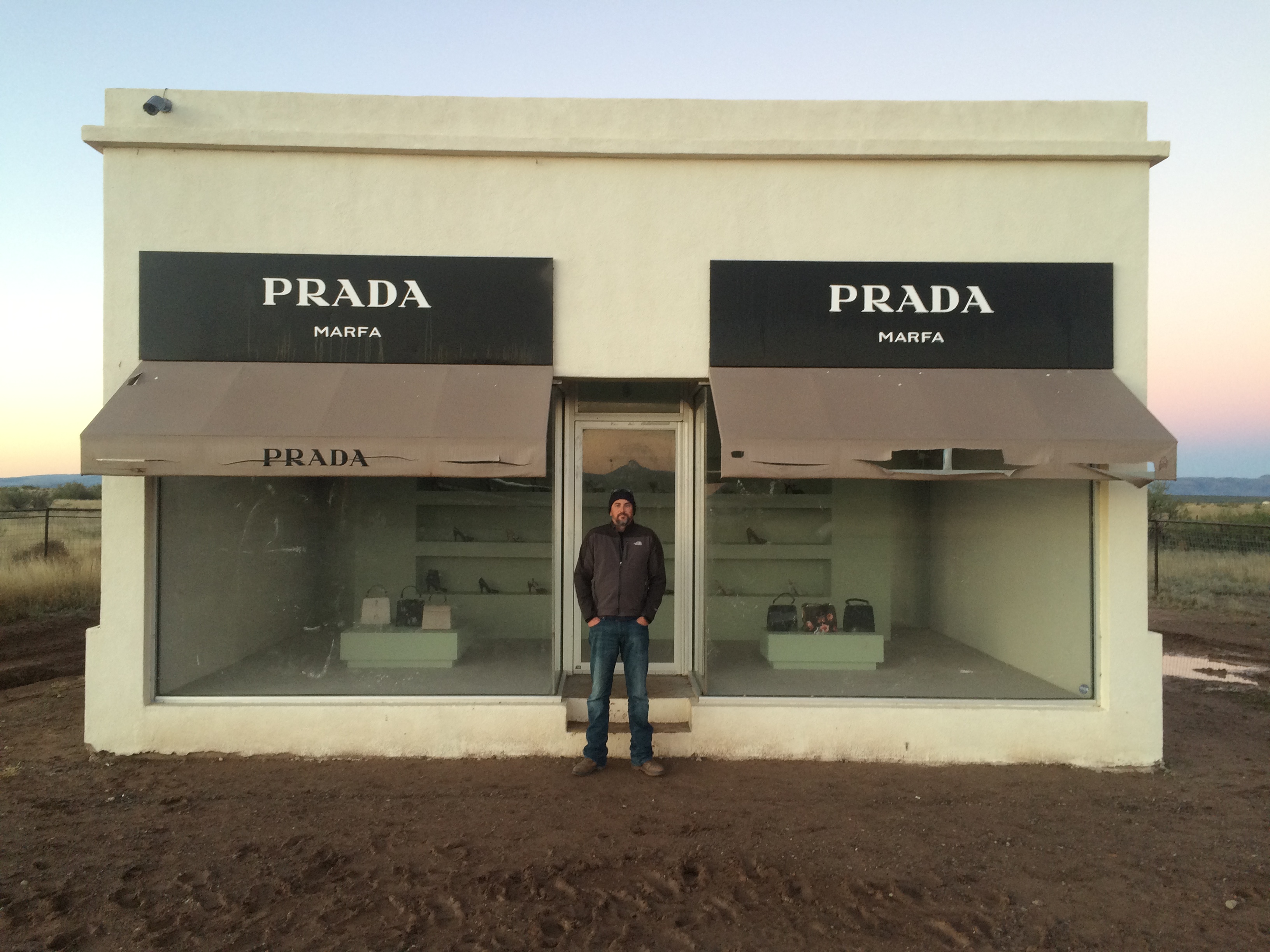
Since Marfa is a big art community,this is an art installation. As you would expect, people vandalize it all the time, so none of the purses have bottoms in them and all the shoes are right-foot only.
We staged Mark walking past it at dawn to great effect.

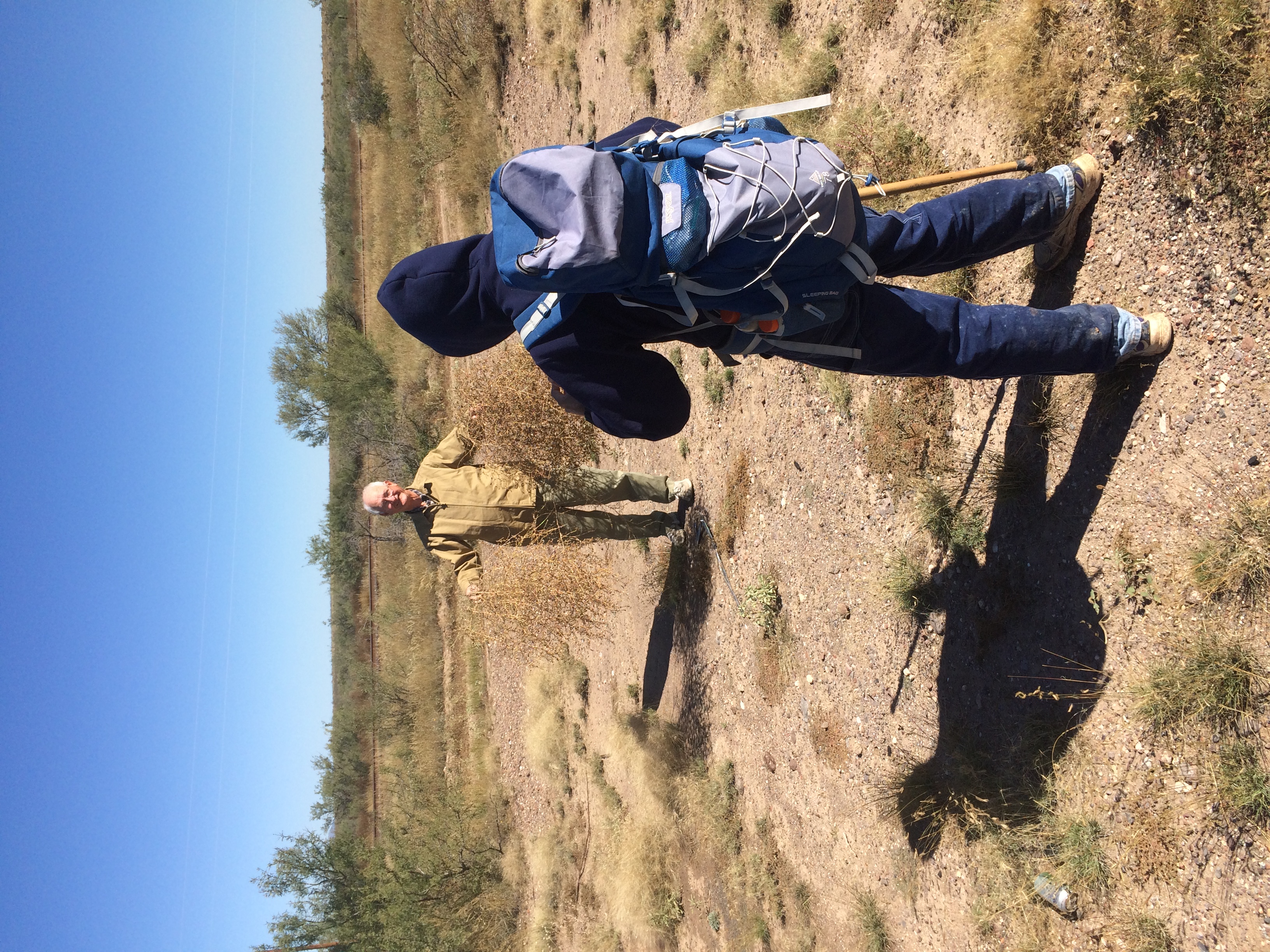
It was an extremely windy day, so we also staged some tumbleweeds crossing Mark’s path. Thankfully I had an able production assistant to act as Tumbleweed Wrangler.

I hope you’ve enjoyed this second dispatch from LA FRONTERA. I will update again after we get down through the Big Bend area.

Welcome to the chronicle of week 1 of LA FRONTERA. My plan to publish daily dispatches proved to be much too ambitious, so instead I shall be issuing weekly digests of our adventure.
Saturday 10/25
Made it to Abilene in about 11 hours. Dodged a couch in the middle of six lanes of traffic on I-10; called 911 to report it and felt like a good citizen. Incurred some minor vehicle damage due to the wind, but it was nothing a little gaff tape couldn’t fix.
Sunday 10/26
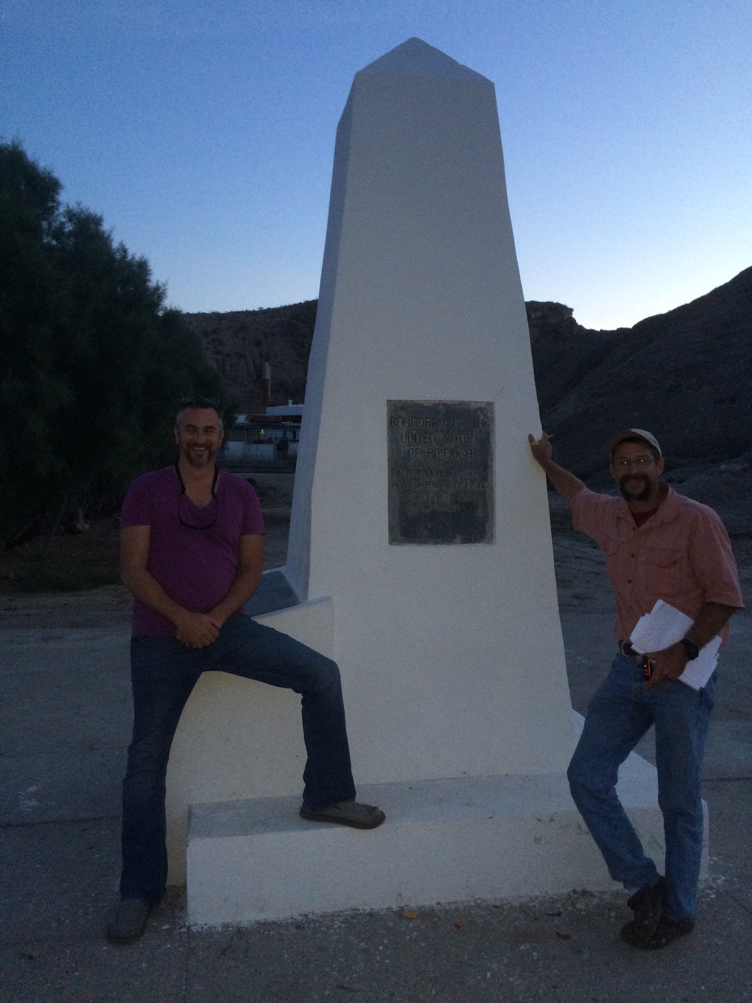
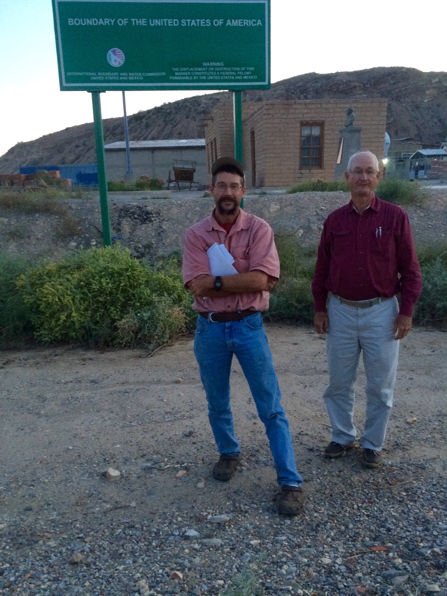
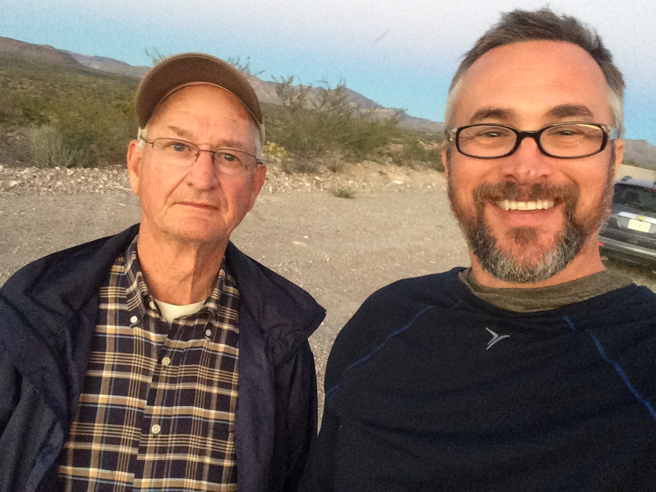
Got into El Paso after about 7 hours. It’s a long way across Texas. Located International Boundary Marker 1, which also marks the commencement point of our journey. Here’s Mark Hainds, Jack Chappell (one of Mark’s Tex-Mex compadres, a group of friends providing logistical support), and me at the marker.
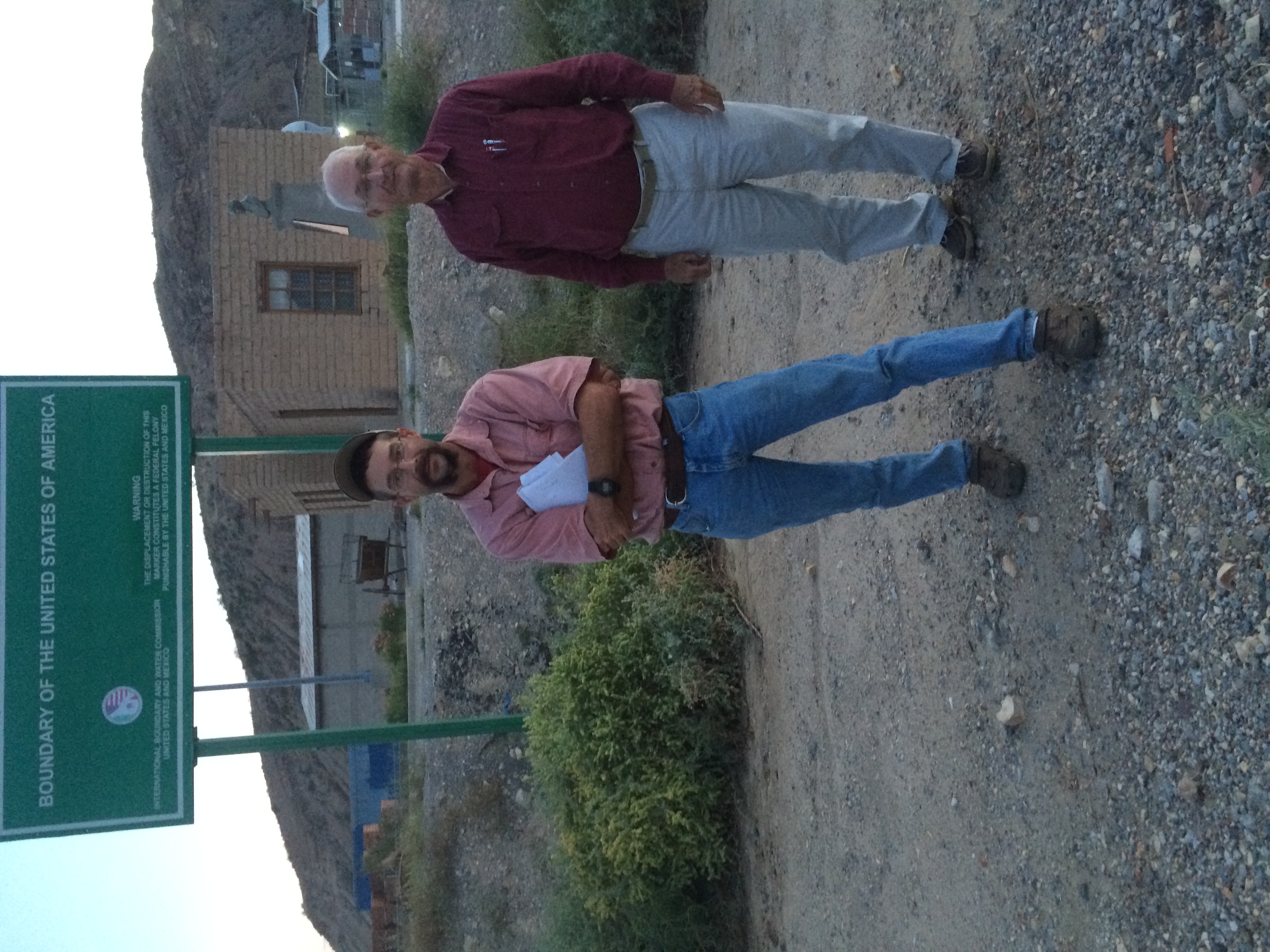
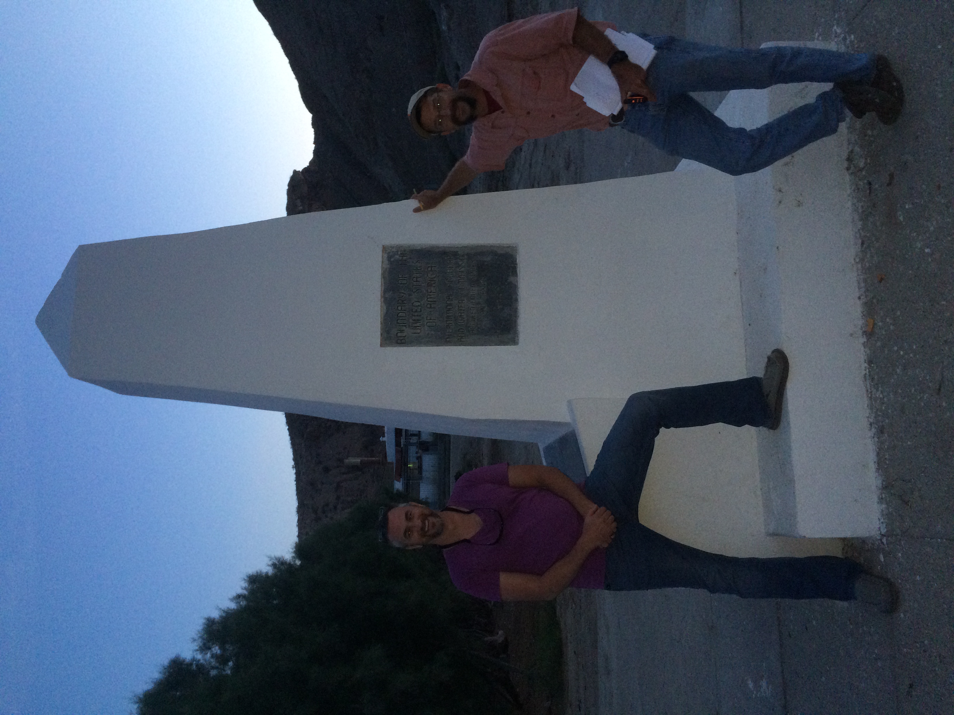
This area was quite surreal. It’s very difficult to find due to a lack of signage, and it’s basically in the middle of a big cement quarry. The Rio Grande trickles by just a few yards away and is holding a moderate population of waterfowl at this time. When we first arrived at the marker on Sunday evening, a Border Patrol agent drove up and inquired as to our business there. After about thirty seconds of explaining, two more vehicles came from nowhere in a cloud of dust. I am pleased to report that they were all quite courteous in the comportment of their duties. This area is heavily patrolled because there is no fence or wall or anything else to keep anyone from stepping across the invisible line that separates the United States and Mexico. Agents are out here constantly, and at night they have a series of floodlight banks that they turn on to light the area and more easily spot illegal activity. In addition to those countermeasures, they also employ thermal and motion sensors and cameras. All in all, it was a very interesting location to begin the adventure.
Monday 10/27
Began at dawn and ended up in Socorro for a late lunch.
My impression of El Paso is that it is a very clean and safe city, which puts it in stark contrast to Ciudad Juarez just across the river. We stayed right off the UTEP campus and I felt very comfortable in my surroundings. El Paso is a very pedestrian-friendly city with an extensive public-transportation system, and it’s easy to get around regardless of your method of conveyance.
Tuesday 10/28
The land gradually depopulates on the way from Socorro to Tornillo. Apartment buildings and parking lots yield to cotton fields and pecan orchards.
Went up to the Scenic Overlook that evening to get some epic time-lapses of the El Paso / Ciudad Juarez international metropolitan area. I decided this was a great opportunity for a three-camera shoot. It was so scenic that I went back the next morning before dawn and got some more good stuff.
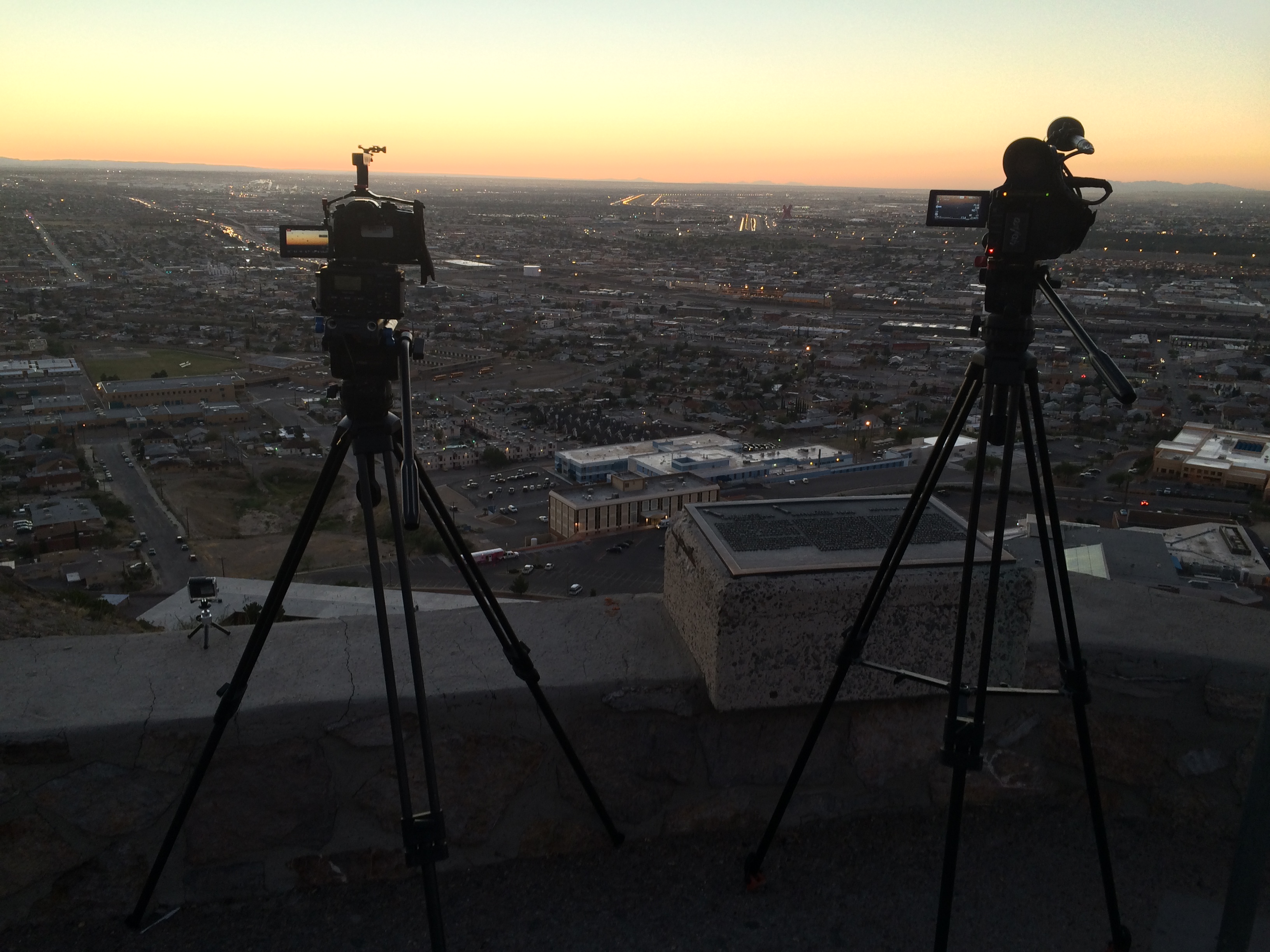
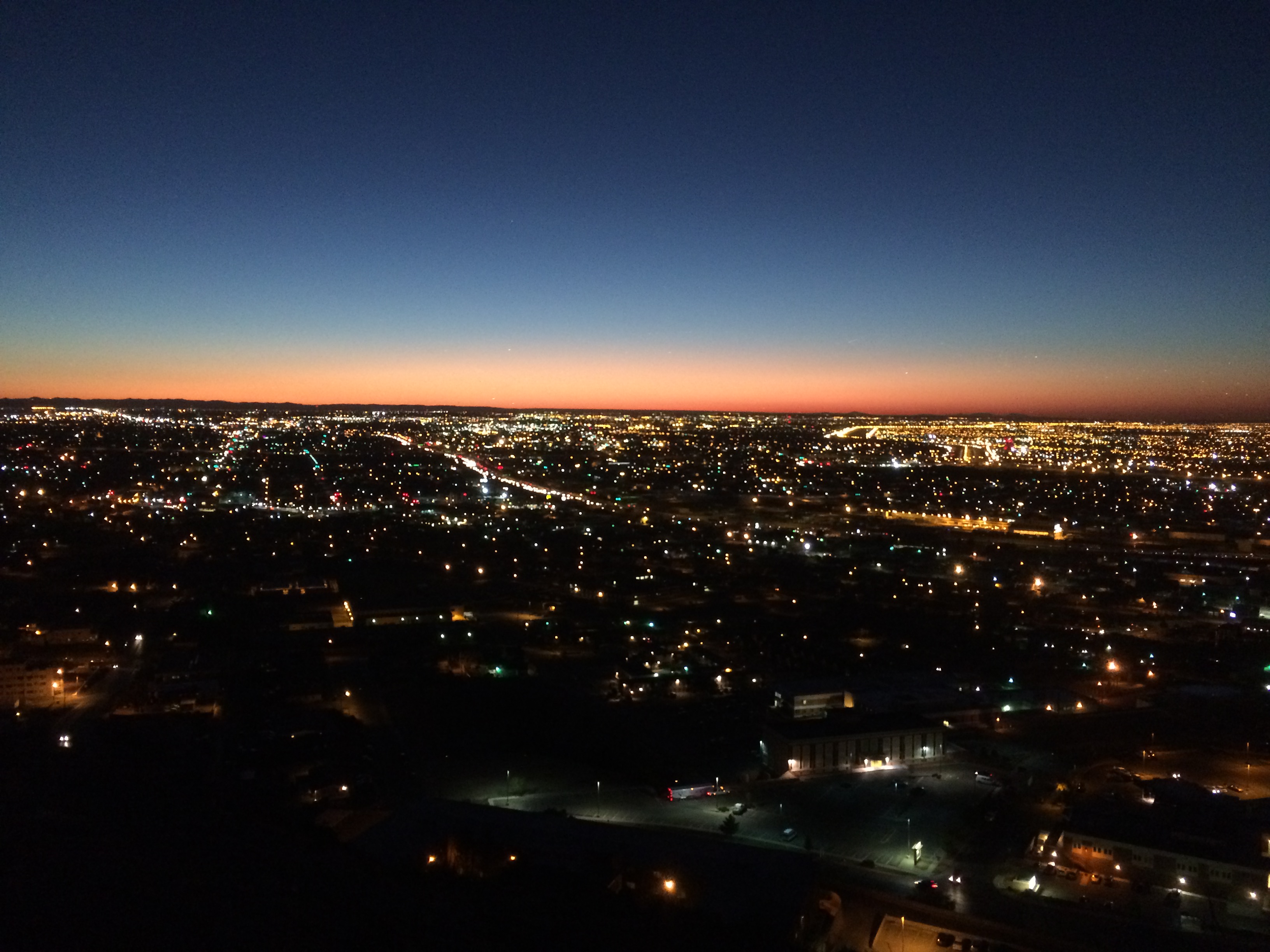
That’s the GH4 on the left and the AF100 on the right. If you look closely, you can see our new GoPro Hero 4 on the ledge. It has a really neat feature called “night lapse” that incrementally adjusts the exposure in such a way that lets you get a nice smooth daylight to sunset to evening transition. I got some especially cool stuff as day turned to night with all the auto traffic along I-10 and the air traffic at the airport and Fort Bliss.
Wednesday 10/29
The stretch to Fort Hancock is mainly agricultural. There are huge pecan orchards, but the trees themselves aren’t nearly as big as the ones we see in Mississippi. There is also a lot of cotton, which doesn’t look nearly as pretty as what we see in the Delta, but it looks pretty good to basically be growing in the Chihuahua Desert.
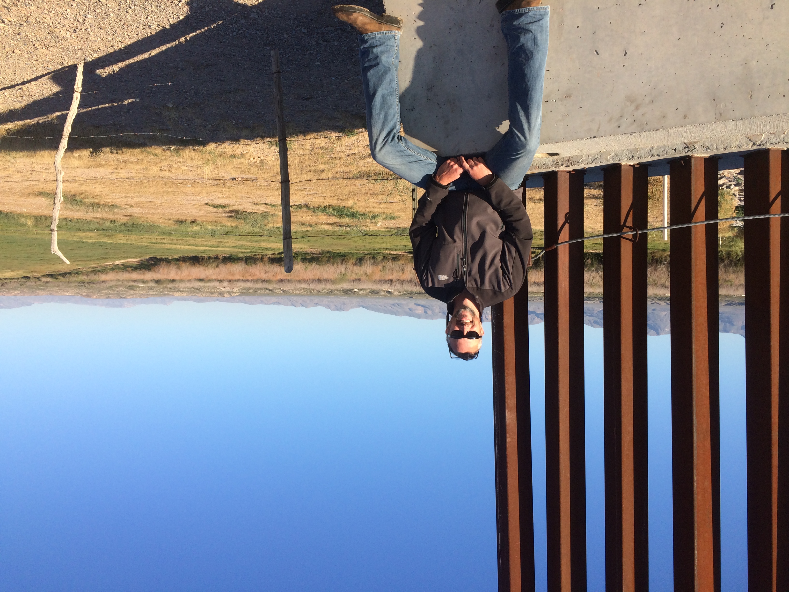
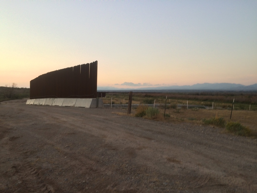
The fence/wall runs through most of El Paso, ends somewhere east of there, and is somewhat intermittent until a few miles west of Fort Hancock. There are varying opinions on why these gaps in the fence/wall exist.
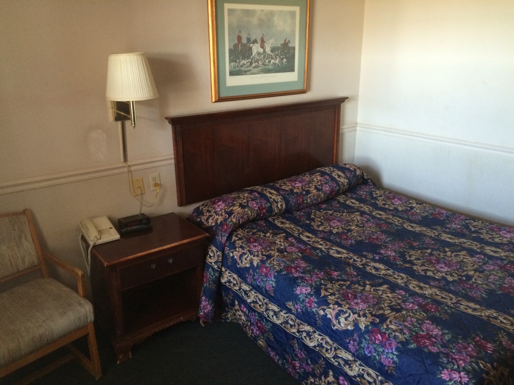
Fort Hancock is a remote outpost in Hudspeth County. You may have heard of that county from this movie. It is a giant county that can take an hour and a half just to get across. It is also desperately poor, and fifty dollars gets you this accommodation.

I decided not to post the photo of the bathroom in case anyone is eating while reading.
Thursday 10/30
On the way to Esperanza via FM 192. There are still row crops in this area, but the further east you go, the more open range you see. There has been a drought here for the past three years that has caused farmers like Orlando Carbajal to shift from vegetables to goats. His daughter, Tanya, writes for the Hudspeth County newspaper.
The Border Patrol has a huge presence here, as this is a hot zone for illegal crossings. We were questioned daily as to our business. We have seen agents in active pursuit via SUV, horseback, and foot. I made contact with the Joint Operations force that coordinates activities between the different law-enforcement entities and try to keep them apprised of our itinerary. Saw our first UAV (Unmanned Aerial Vehicle / drone / eye in the sky). It was a small fixed-wing aircraft. We were not flying our drone at the time, and I always try to inform CBP (Customs and Border Protection) Air Ops of our flight plans beforehand, just for deconfliction purposes (their term, not mine).
It’s very strange to feel as though you’re being watched all the time.
Friday 10/31
Went into El Paso and had a great interview with Josiah Heyman, Director of the UTEP Center for Interamerican and B0rder Studies.
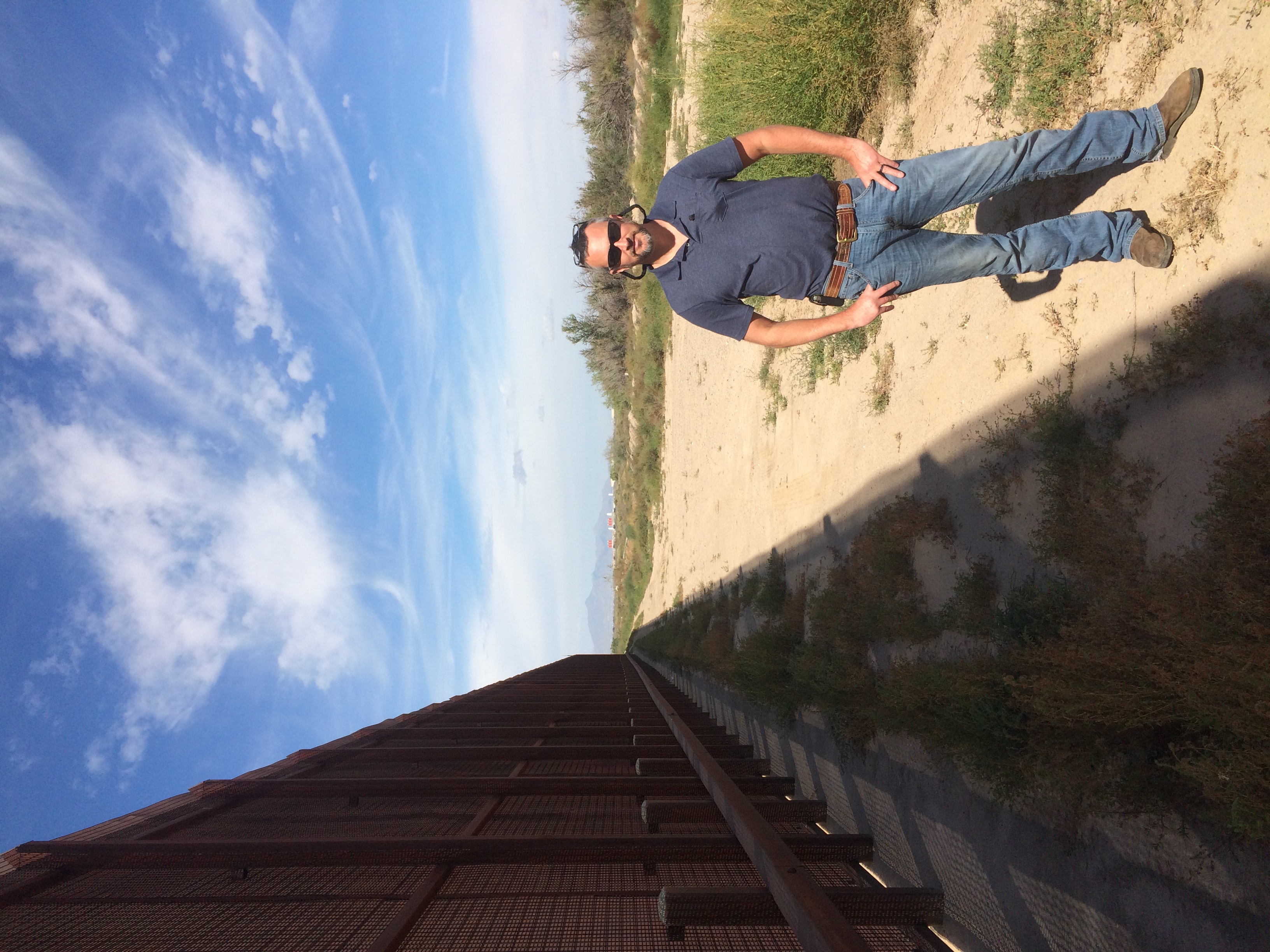
Headed back east where the fence/wall turns into barbed wire. This is a hot zone for illegal crossings, for obvious reasons. It is also heavily monitored. On the night before we visited,three persons crossed illegally here and agents tracked them on foot and in the dark fifteen miles north before they caught them at dawn. Bill and Lupe Dempsey have a ranch on land in this area, and they are always finding people illegally crossing their land in various states of progress and health. The Dempseys and Arvin West, the sheriff of Hudspeth County, are concerned that this area is so insecure.
Met Rusty Fleming, a local filmmaker who has embedded with all the major drug cartel gangs. He has incredible footage of some of the horrific violence that takes place (mostly) across the border. Rusty, unfortunately I cannot find the card upon which I wrote your number. If you’re reading this, call or email, please.
Got some worried texts from the folks at work saying somebody from CBP had called to see if they knew anything about me. That was intriguing.
We turned north on Quitman Pass Road on the way to Sierra Blanca.
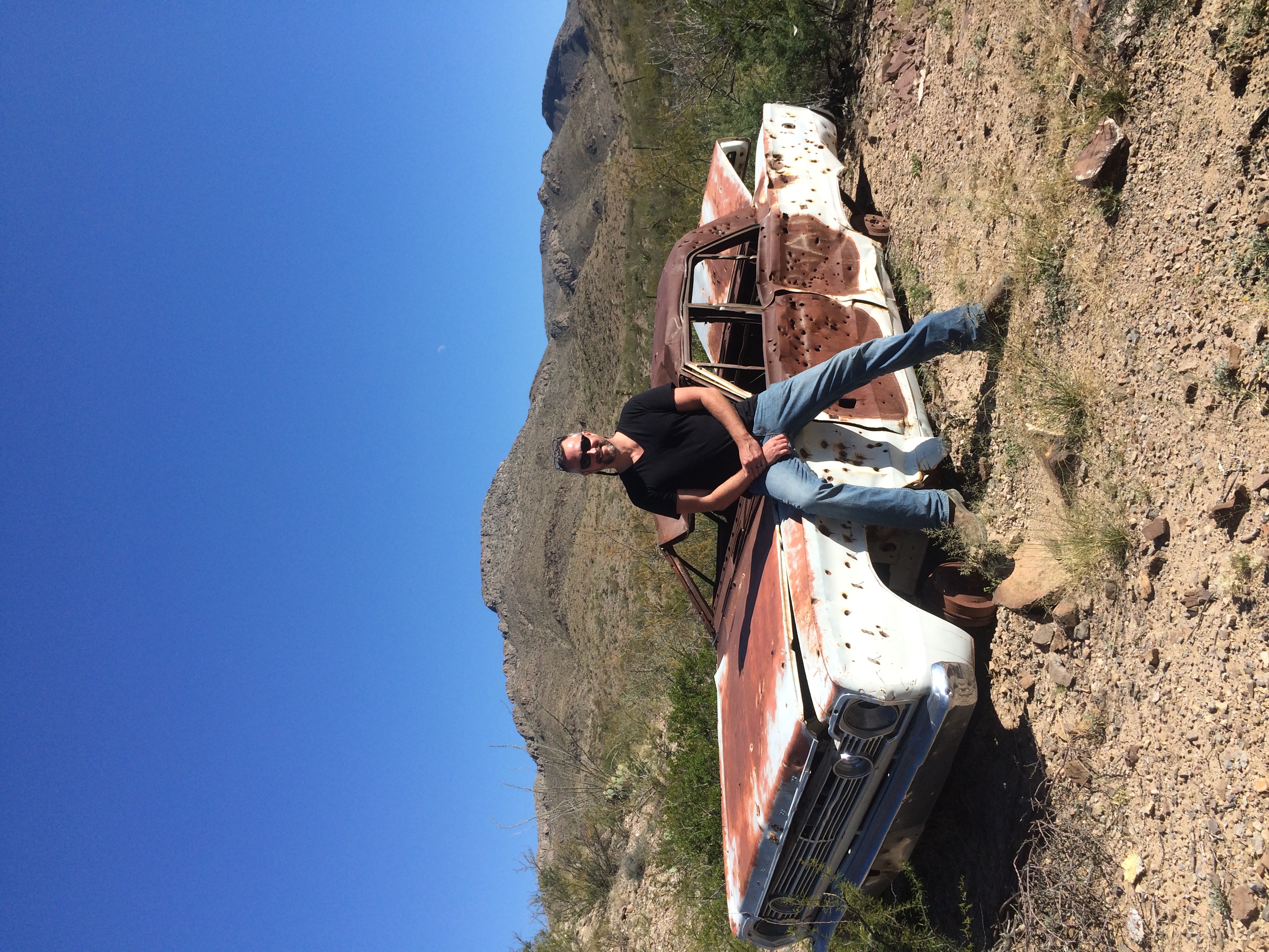
We deviated from the river route because there is no established trail for much of the way between there and Candelaria. The Quitman Pass road is some of the most beautifully rugged country around. Lots of interesting cacti and some flowers blooming. There is basically nothing else on it besides a few surprisingly healthy-looking cows for the twenty miles to SB. Flew the copter along here, which was a real challenge. It’s not easy to jog along in cowboy boots at 4000 feet while trying to pilot a helicopter in a 7-10 mph wind.
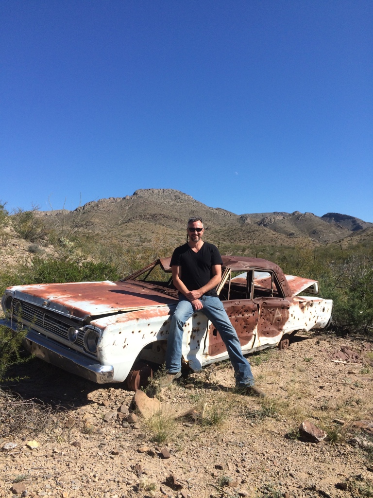
Here’s the last car that tried to make it across the pass.
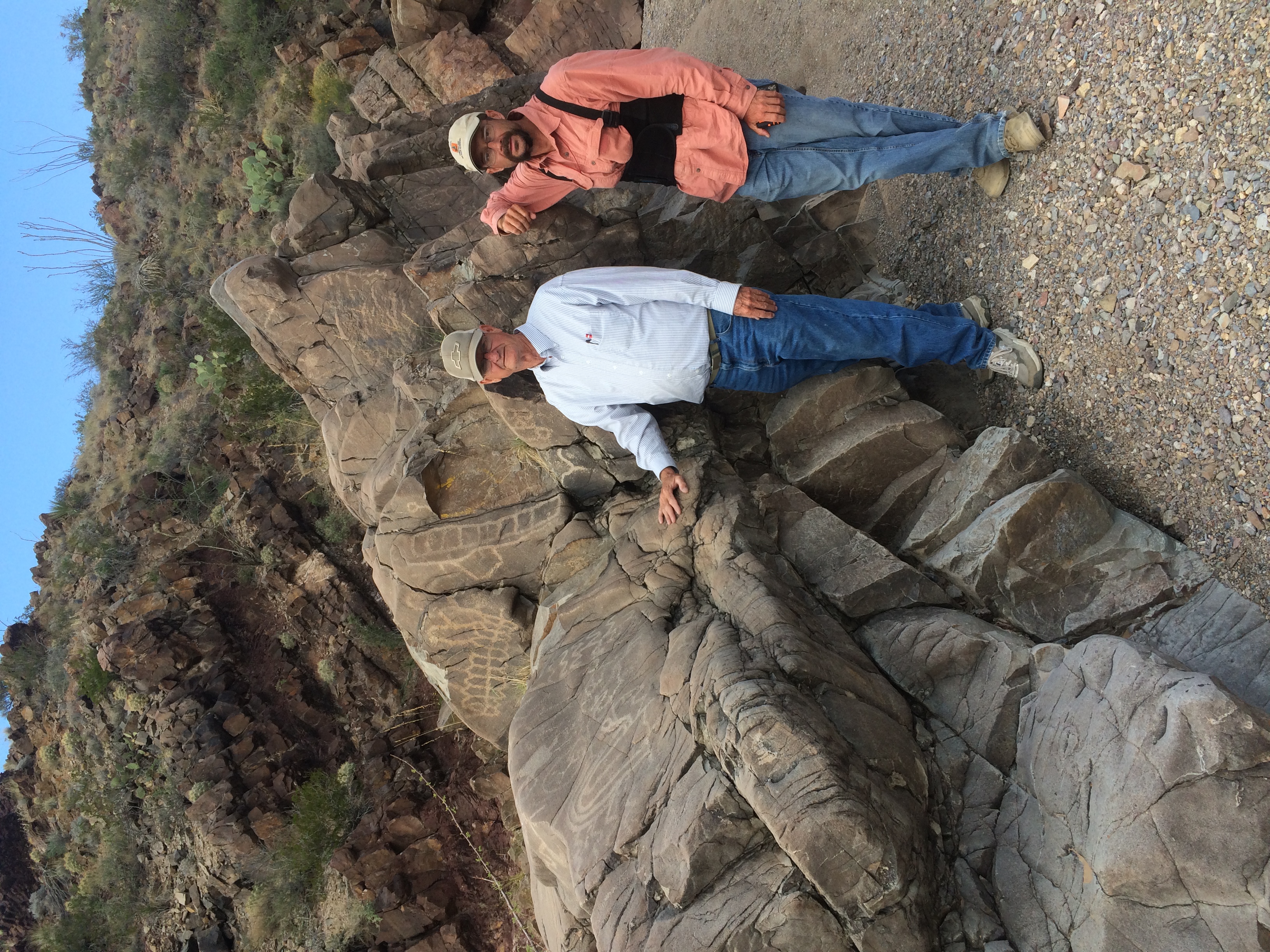
Here are Jack and Mark at some petroglyphs just off the road.
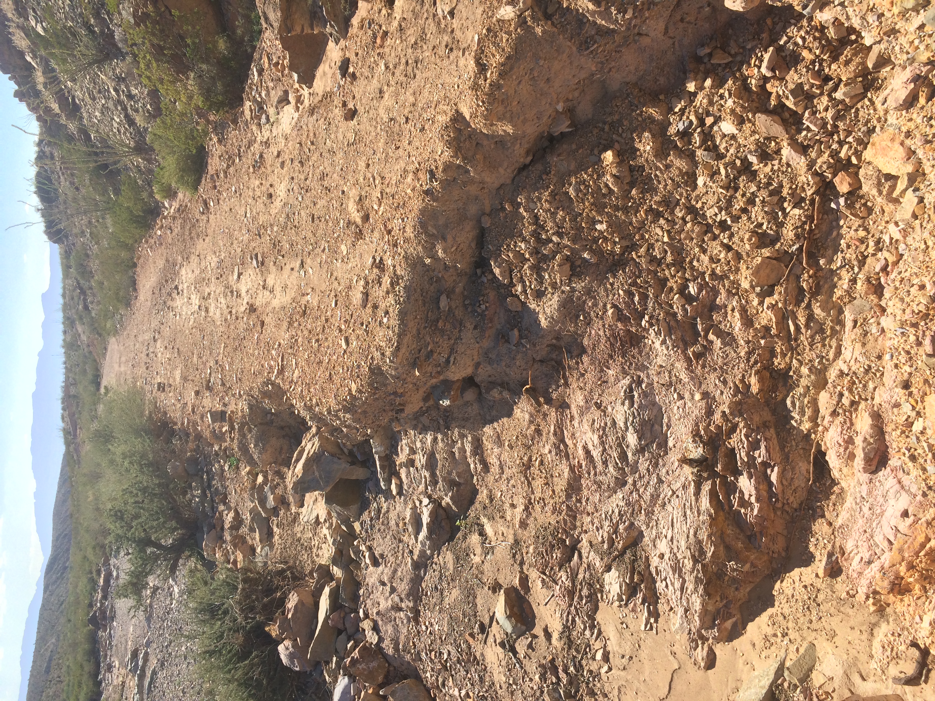
Here’s a Texas pothole.
Undaunted, we made it to our campsite at a stock-watering tank. After huddling around the campfire for a bit, we turned in and fell asleep to the sounds of the wind and coyotes howling. We didn’t see anybody or hear anything the rest of the night.

Saturday 11/01
Broke camp at dawn and headed into Sierra Blanca. Met Wayne Edgin, the Hudspeth County EMS Coordinator and part-time private investigator. He is an Alabama native, so I enjoyed getting my SEC football bullshooting fix with him. He has a unique perspective of the culture here given his professions.
Spent the night in Van Horn and watched an exciting night of SEC football. Made plans for the next few days of visits with some of the great people we’ve met along the way.
I hope you’ve enjoyed this first missive from LA FRONTERA. I will update again in about a week or the next time I have wi-fi. Hasta luego!

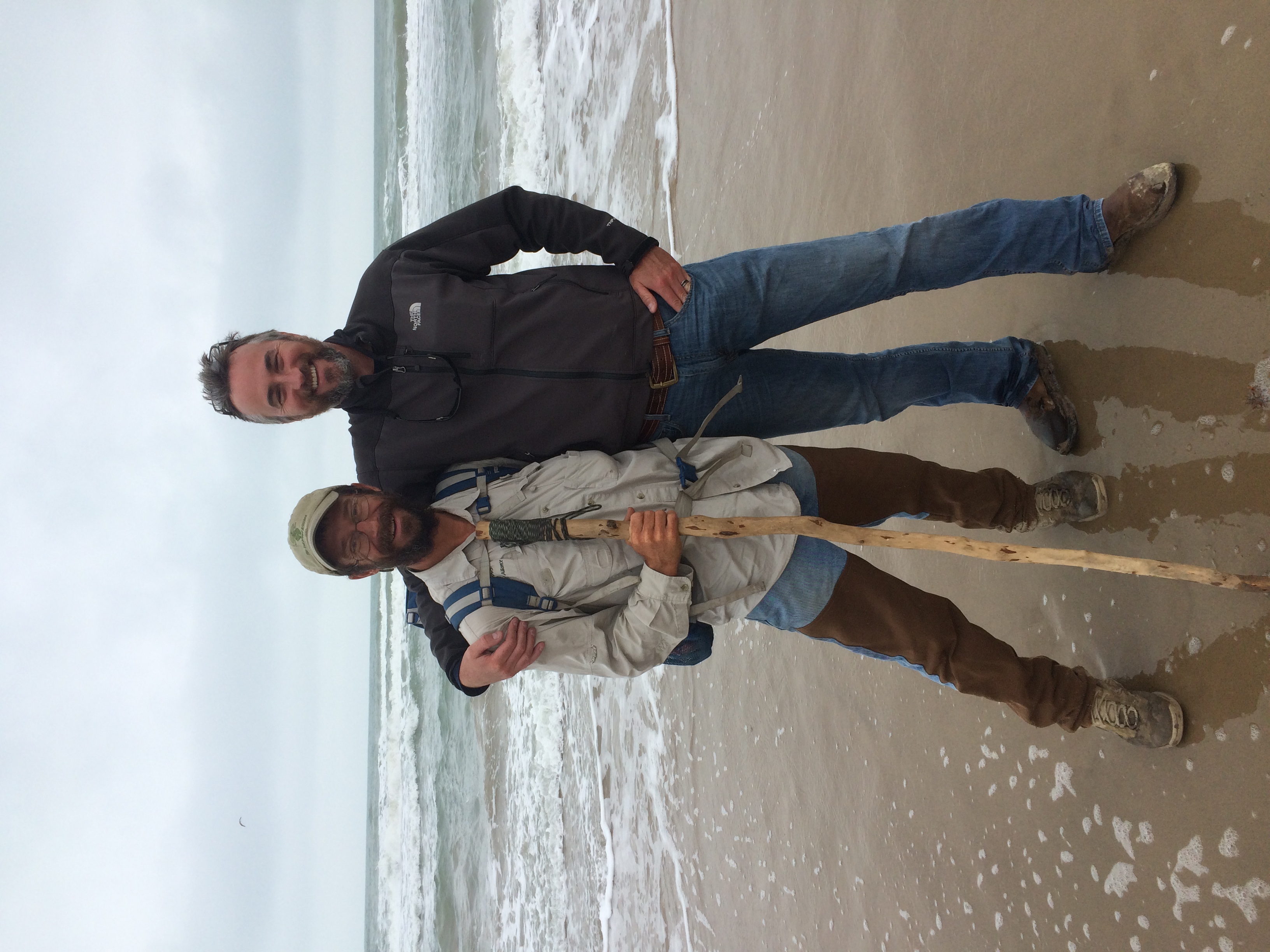
Mark J. Hainds is a naturalist, adventurer, and author from Andalusia, Alabama who quit his job and planned a trek of the Texas – Mexico border that many people thought he would not survive. Mark’s walk began at International Boundary Marker 1 in El Paso and ended over a thousand miles later at Boca Chica Beach in Brownsville, where the Rio Grande empties into the Gulf of Mexico. From right-wing ranchers to cowboy poets to human-rights activists to fence / wall opponents, Mark met a myriad of people along the way who were eager to discuss the balance between border security and immigration justice.
Below is a collection posts entries made by Rex Jones through the process of making this film.
October 19, 2014
In one week, I’ll be commencing production on my latest feature, LA FRONTERA, which will chronicle the journey of Mark Hainds as he walks the 1200-mile length of the Rio Grande as it borders Texas and Mexico. I’ll be updating the blog as we make our way east from El Paso to Boca Chica, but in the meantime, here’s an article talking a little more about the trip. If you don’t want to read the whole article, here’s my favorite line: Jones’ wife wants him home for Christmas, so Mark will push hard to complete his journey by December 23.
October 24, 2014 – International Boundary Marker #1
Just got back from a scout trip to tomorrow morning’s launching point of our expedition.


November 11, 2014 – Dispatch Vo1. 1
Welcome to the chronicle of week 1 of LA FRONTERA. My plan to publish daily dispatches proved to be much too ambitious, so instead I shall be issuing weekly digests of our adventure.
Saturday 10/25 – Made it to Abilene in about 11 hours. Dodged a couch in the middle of six lanes of traffic on I-10; called 911 to report it and felt like a good citizen. Incurred some minor vehicle damage due to the wind, but it was nothing a little gaff tape couldn’t fix.
Sunday 10/26 – Got into El Paso after about 7 hours. It’s a long way across Texas. Located International Boundary Marker 1, which also marks the commencement point of our journey. Here’s Mark Hainds, Jack Chappell (one of Mark’s Tex-Mex compadres, a group of friends providing logistical support), and me at the marker.
This area was quite surreal. It’s very difficult to find due to a lack of signage, and it’s basically in the middle of a big cement quarry. The Rio Grande trickles by just a few yards away and is holding a moderate population of waterfowl at this time. When we first arrived at the marker on Sunday evening, a Border Patrol agent drove up and inquired as to our business there. After about thirty seconds of explaining, two more vehicles came from nowhere in a cloud of dust. I am pleased to report that they were all quite courteous in the comportment of their duties. This area is heavily patrolled because there is no fence or wall or anything else to keep anyone from stepping across the invisible line that separates the United States and Mexico. Agents are out here constantly, and at night they have a series of floodlight banks that they turn on to light the area and more easily spot illegal activity. In addition to those countermeasures, they also employ thermal and motion sensors and cameras. All in all, it was a very interesting location to begin the adventure.
Monday 10/27 – Began at dawn and ended up in Socorro for a late lunch.
My impression of El Paso is that it is a very clean and safe city, which puts it in stark contrast to Ciudad Juarez just across the river. We stayed right off the UTEP campus and I felt very comfortable in my surroundings. El Paso is a very pedestrian-friendly city with an extensive public-transportation system, and it’s easy to get around regardless of your method of conveyance.
Tuesday 10/28 – The land gradually depopulates on the way from Socorro to Tornillo. Apartment buildings and parking lots yield to cotton fields and pecan orchards.
Went up to the Scenic Overlook that evening to get some epic time-lapses of the El Paso / Ciudad Juarez international metropolitan area. I decided this was a great opportunity for a three-camera shoot. It was so scenic that I went back the next morning before dawn and got some more good stuff.

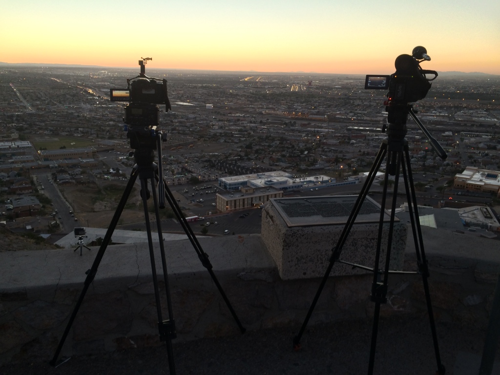
That’s the GH4 on the left and the AF100 on the right. If you look closely, you can see our new GoPro Hero 4 on the ledge. It has a really neat feature called “night lapse” that incrementally adjusts the exposure in such a way that lets you get a nice smooth daylight to sunset to evening transition. I got some especially cool stuff as day turned to night with all the auto traffic along I-10 and the air traffic at the airport and Fort Bliss.
Wednesday 10/29 – The stretch to Fort Hancock is mainly agricultural. There are huge pecan orchards, but the trees themselves aren’t nearly as big as the ones we see in Mississippi. There is also a lot of cotton, which doesn’t look nearly as pretty as what we see in the Delta, but it looks pretty good to basically be growing in the Chihuahua Desert.
The fence/wall runs through most of El Paso, ends somewhere east of there, and is somewhat intermittent until a few miles west of Fort Hancock. There are varying opinions on why these gaps in the fence/wall exist.
Thursday 10/30 – On the way to Esperanza via FM 192. There are still row crops in this area, but the further east you go, the more open range you see. There has been a drought here for the past three years that has caused farmers like Orlando Carbajal to shift from vegetables to goats. His daughter, Tanya, writes for the Hudspeth County newspaper.
The Border Patrol has a huge presence here, as this is a hot zone for illegal crossings. We were questioned daily as to our business. We have seen agents in active pursuit via SUV, horseback, and foot. I made contact with the Joint Operations force that coordinates activities between the different law-enforcement entities and try to keep them apprised of our itinerary. Saw our first UAV (Unmanned Aerial Vehicle / drone / eye in the sky). It was a small fixed-wing aircraft. We were not flying our drone at the time, and I always try to inform CBP (Customs and Border Protection) Air Ops of our flight plans beforehand, just for deconfliction purposes (their term, not mine).
It’s very strange to feel as though you’re being watched all the time.
Friday 10/31 – Went into El Paso and had a great interview with Josiah Heyman, Director of the UTEP Center for Interamerican and B0rder Studies.
Headed back east where the fence/wall turns into barbed wire. This is a hot zone for illegal crossings, for obvious reasons. It is also heavily monitored. On the night before we visited,three persons crossed illegally here and agents tracked them on foot and in the dark fifteen miles north before they caught them at dawn. Bill and Lupe Dempsey have a ranch on land in this area, and they are always finding people illegally crossing their land in various states of progress and health. The Dempseys and Arvin West, the sheriff of Hudspeth County, are concerned that this area is so insecure.
Met Rusty Fleming, a local filmmaker who has embedded with all the major drug cartel gangs. He has incredible footage of some of the horrific violence that takes place (mostly) across the border. Rusty, unfortunately I cannot find the card upon which I wrote your number. If you’re reading this, call or email, please.
Got some worried texts from the folks at work saying somebody from CBP had called to see if they knew anything about me. That was intriguing.
We turned north on Quitman Pass Road on the way to Sierra Blanca.
We deviated from the river route because there is no established trail for much of the way between there and Candelaria. The Quitman Pass road is some of the most beautifully rugged country around. Lots of interesting cacti and some flowers blooming. There is basically nothing else on it besides a few surprisingly healthy-looking cows for the twenty miles to SB. Flew the copter along here, which was a real challenge. It’s not easy to jog along in cowboy boots at 4000 feet while trying to pilot a helicopter in a 7-10 mph wind.
Here’s the last car that tried to make it across the pass.
Here are Jack and Mark at some petroglyphs just off the road.
Undaunted, we made it to our campsite at a stock-watering tank. After huddling around the campfire for a bit, we turned in and fell asleep to the sounds of the wind and coyotes howling. We didn’t see anybody or hear anything the rest of the night.
Saturday 11/01 – Broke camp at dawn and headed into Sierra Blanca. Met Wayne Edgin, the Hudspeth County EMS Coordinator and part-time private investigator. He is an Alabama native, so I enjoyed getting my SEC football bullshooting fix with him. He has a unique perspective of the culture here given his professions.
Spent the night in Van Horn and watched an exciting night of SEC football. Made plans for the next few days of visits with some of the great people we’ve met along the way.
I hope you’ve enjoyed this first missive from LA FRONTERA. I will update again in about a week or the next time I have wi-fi. Hasta luego!